Fire Island National Seashore
Fire Island, New York (NY)
• United States
Fire Island National Seashore, Fire Island, NY 11770, USA
★★★★★
5.0
(1 reviews)
Lat: 40.6447 • Lng: -73.1641
Flight status:
Likely allowed
Keep this rule information accurate
Edit the flight status, boundary, source details, and rule summary for this place.
Pilot Activity
Interest over time
Last 90 days
Trend: Steady — Recent interest is similar to the prior four weeks.
Recency: Last activity: today
Current pilot activity
Quiet
0 recent
Little recent search or page-view activity has been seen for this place.
Normal for this time
Typical activity
0 avg
Confidence: Low. Based on enough activity to show a trend, but still a limited signal sample.
Typical pilot activity by hour
Hours are grouped by the place’s approximate local time (UTC-5).
Typical by day
Typical by season
Weather
Weather forecast for this flying spot.
Lat: 40.6447 • Lng: -73.1641
Loading forecast…
Weather forecast could not be loaded right now.
Forecast
--°F
Updated forecast
Checking conditions
Wind and weather can change quickly. Use this as a planning aid, not as flight authorization.
Wind
-- mph
Gusts
-- mph
Direction
--
Precipitation
-- in
Next 24 hours
Temperature, wind, gusts, and conditions
Source: Open-Meteo
Location
Added May 26, 2026
Map is not loaded yet
Load it only when you need to view the location.
Photos (1)
Reviews
Add review
★★★★★
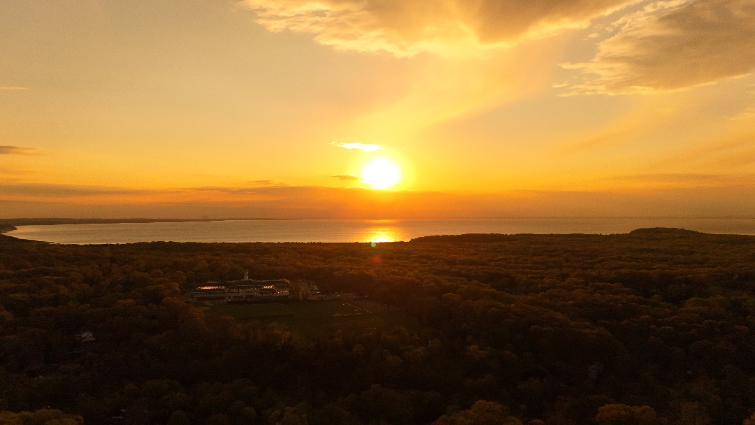
Flying here gives you wide-open coastal views, long stretches of beach, and clean horizons that are perfect for cinematic shots. The drone generally handles well over the ocean and dunes, but you should expect steady coastal winds that can make hovering a bit less stable, especially higher up. Most flights feel smooth at lower altitudes near the shoreline, and you can get really clean tracking shots along the beach. Sunrises and sunsets are especially strong here because the light reflects off the water and sand, giving your footage a warm, high-contrast look. Just be mindful of wind gusts and keep distance from protected wildlife areas since parts of the seashore have restrictions.