calvino_the_utahn
Showing rules updates and reviews across all places.
Total edits: 3
Reviews: 5
Joined: May 27, 2026
Reputation: 15
Showing 1–8 of 8 activity items.
Page 1 of 1.
Mapped shape change
Old outline is gray. New outline is blue.
May 27, 2026 3:33 AM
Rules update
• Added information and a source about a FRIA location.
Place:
Rowland Hall Upper School
Changed fields
Mapped shape change
Click to load this change into the shared map viewer here.
Before shape notes
—
After shape notes
- This is an FAA FRIA zone.
| Field | Before | After |
|---|---|---|
| Restriction type | Ground | Air |
| Flight status | Unknown | Permission |
| Summary | — | This is an FAA-approved FRIA location in the field of this private middle and high school. This means that a UAV can be flown here without a remote ID as long as the pilot and aircraft stay in the FRIA and they have permission to be there. |
| Mapped shapes | — | e7a3ac99-433a-4fc5-8747-f18bb1b1cb85 |
Before
After
## Facts
 - Should ask for permission before use
- At Rowland Hall Middle and High School field
- No remote ID needed
 - Official FAA-approved FRIA
Show inline change markers
+ ## Facts
+  - Should ask for permission before use
+ - At Rowland Hall Middle and High School field
+ - No remote ID needed
+  - Official FAA-approved FRIA
May 27, 2026 3:17 AM
Review
Place:
East High School
5 out of 5 stars
5/5
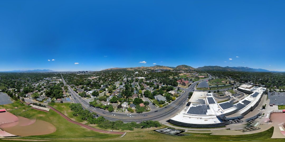
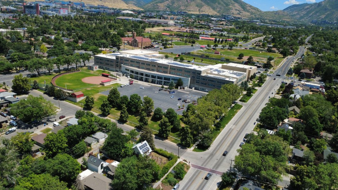
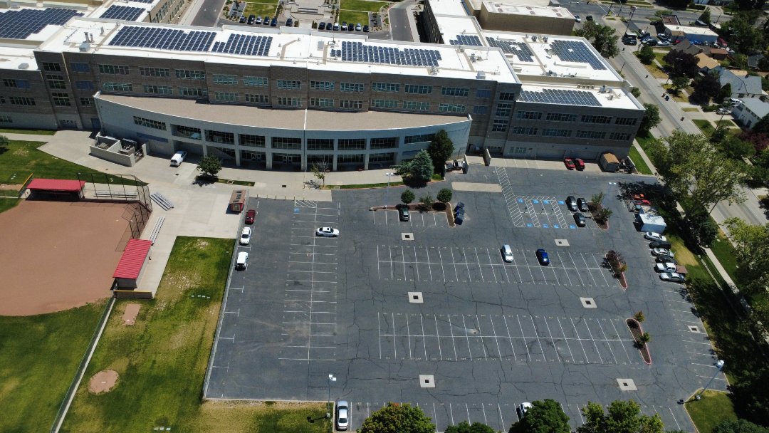
Great central spot to photograph the city from any angle, and you can see all of the solar panels on top of East High, which is neat.
May 27, 2026 3:13 AM
Review
Place:
Firestone Trce
5 out of 5 stars
5/5
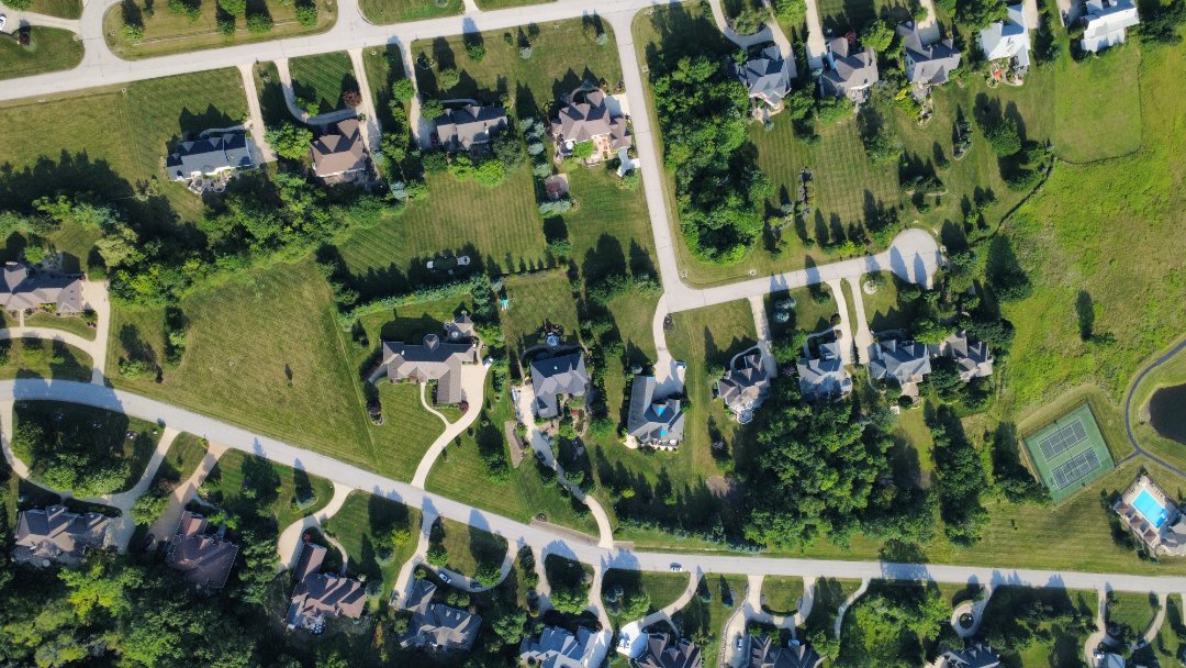
Great view of this neighborhood.
May 27, 2026 3:06 AM
Review
Place:
Kodachrome Basin State Park
5 out of 5 stars
5/5
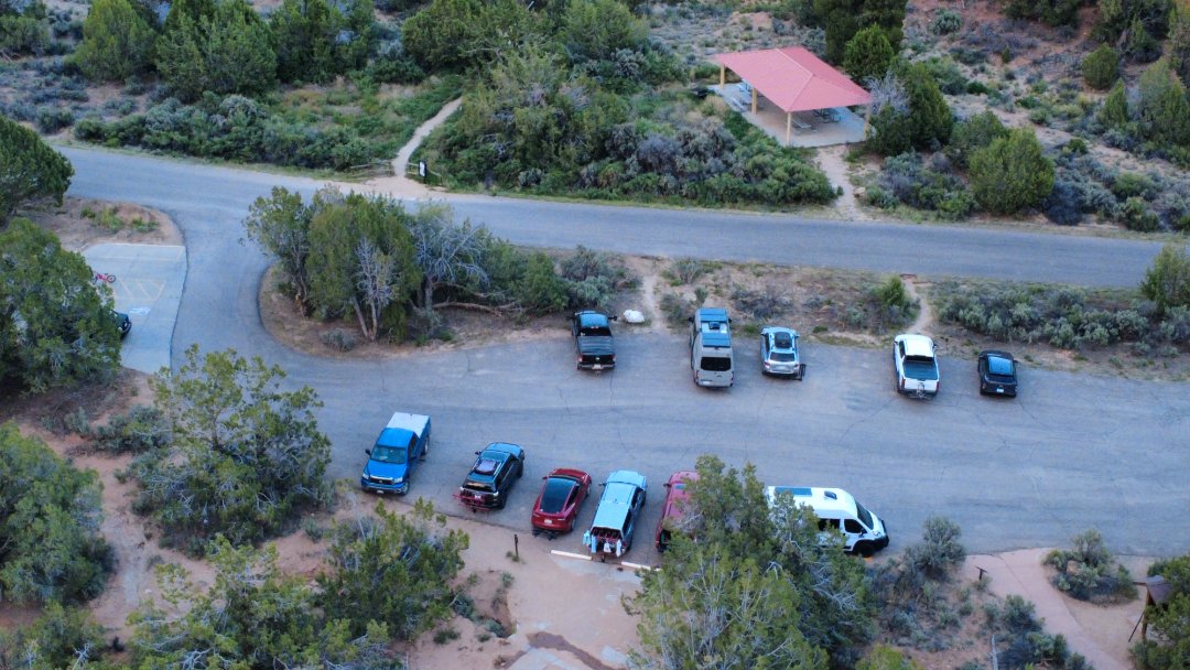
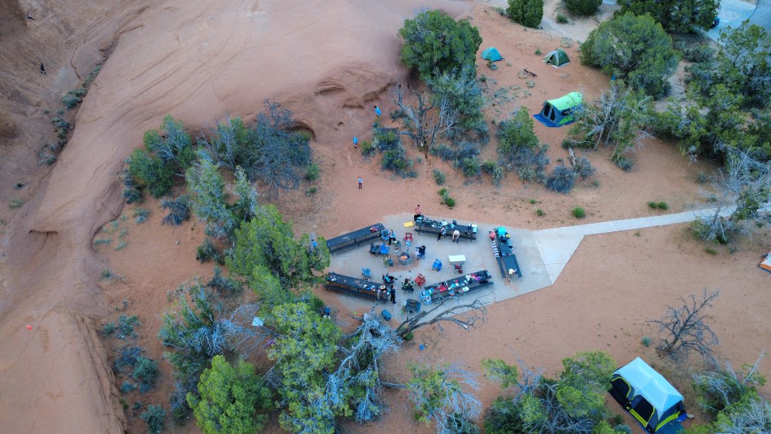
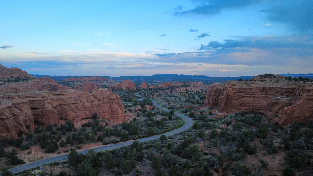
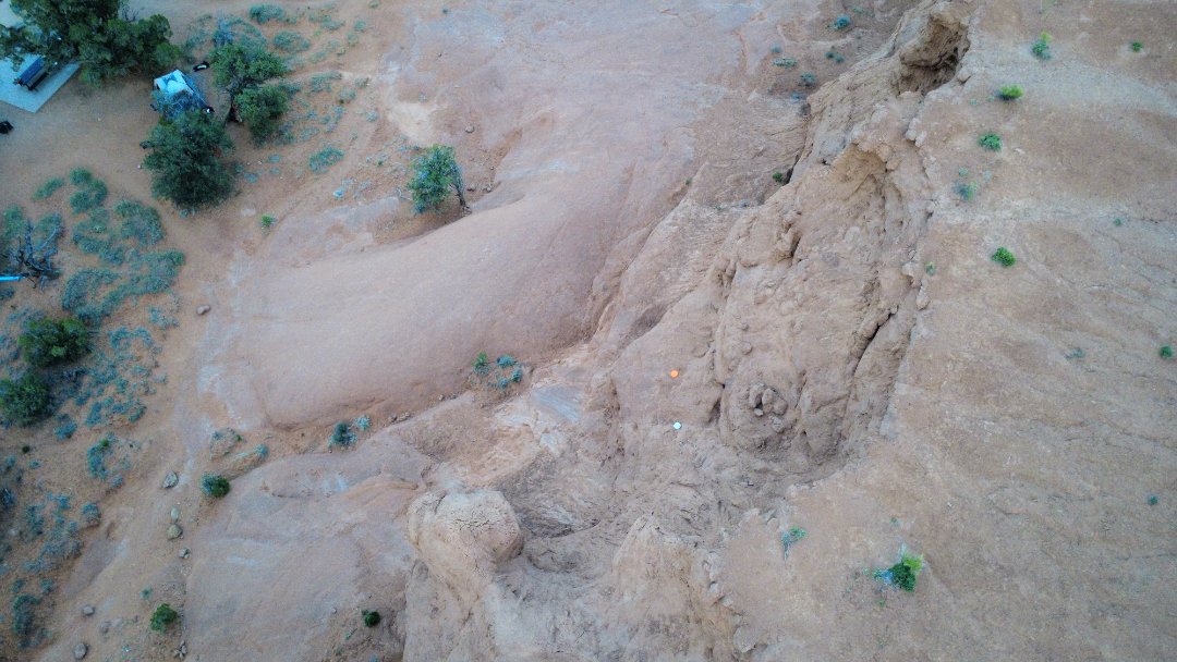
Very fun to fly here among the amazing southern Utah scenery.
May 27, 2026 2:56 AM
Review
Place:
East lights
5 out of 5 stars
5/5
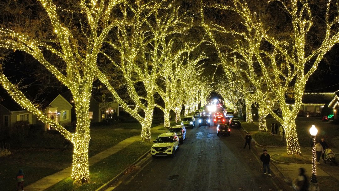
Very cool spot to fly around the holidays, among this street full of lights arching over the road. Be careful of the lower branches without lights, as they are hard to see and easy to hit.
May 27, 2026 2:55 AM
Review
Place:
Out of the Blue
5 out of 5 stars
5/5
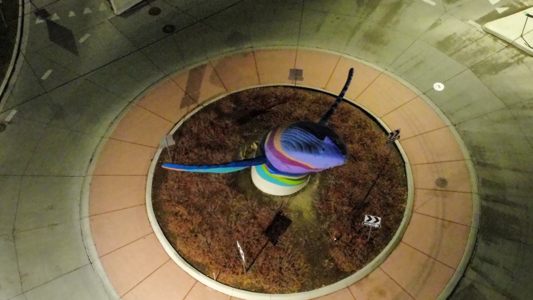
Great monument to frame a view of the city below.
May 27, 2026 2:30 AM
Rules update
• I added an official airport source.
May 27, 2026 1:38 AM
Rules update
• I explained the rules of the park and the specifics of how to get the permit.
Place:
Kodachrome Basin State Park
Changed fields
Mapped shape change
Click to load this change into the shared map viewer here.
Before shape notes
—
After shape notes
- Legal walkable boundary area of the state park.
| Field | Before | After |
|---|---|---|
| Restriction type | Ground | Air |
| Flight status | Unknown | Permission |
| Summary | — | A 24-hour permit is required and can be obtained from the visitor center for $5. There is a 400ft flight ceiling from the takeoff location. It is not allowed to fly over or film people not in your group. |
| Mapped shapes | — | 6f525944-ebe1-4211-a9ca-66f92af77d47 |
Before
After
## Rules
- It is not allowed to fly over or film people not in your group.
- 400ft flight ceiling
- $5 fee
- lasts approximately 24 hours
- For personal use only
Show inline change markers
+ ## Rules
+ - It is not allowed to fly over or film people not in your group.
+ - 400ft flight ceiling
+ - $5 fee
+ - lasts approximately 24 hours
+ - For personal use only
+