918c3170-0f6a-4d88-bbae-eebbd4ff1df5
Showing rules updates and reviews across all places.
Total edits: 1
Reviews: 1
Joined: May 26, 2026
Reputation: 3
Showing 1–2 of 2 activity items.
Page 1 of 1.
Mapped shape change
Old outline is gray. New outline is blue.
May 26, 2026 7:23 PM
Rules update
Place:
Misztale
Changed fields
Mapped shape change
Click to load this change into the shared map viewer here.
| Field | Before | After |
|---|---|---|
| Restriction type | Ground | Air |
| Flight status | Unknown | Allowed |
| Summary | — | UAV VLOS Max 25kg 50 m AGL |
| Mapped shapes | — | 18bf5cb8-1ad0-450f-b146-e648040f32aa |
Before
After
# Flight Operations Criteria:
- Maximum Altitude: 50 meters Above Ground Level (AGL)
- Maximum Takeoff Weight (MTOW): 25 kg
- Operation Type: Visual Line of Sight (VLOS) required
- Flight Boundary: Restricted within the administrative borders of the city of Jarosław
Show inline change markers
+ # Flight Operations Criteria:
+ - Maximum Altitude: 50 meters Above Ground Level (AGL)
+ - Maximum Takeoff Weight (MTOW): 25 kg
+ - Operation Type: Visual Line of Sight (VLOS) required
+ - Flight Boundary: Restricted within the administrative borders of the city of Jarosław
May 26, 2026 7:14 PM
Review
Place:
Misztale
4 out of 5 stars
4/5
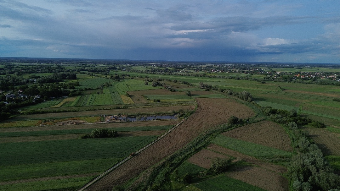
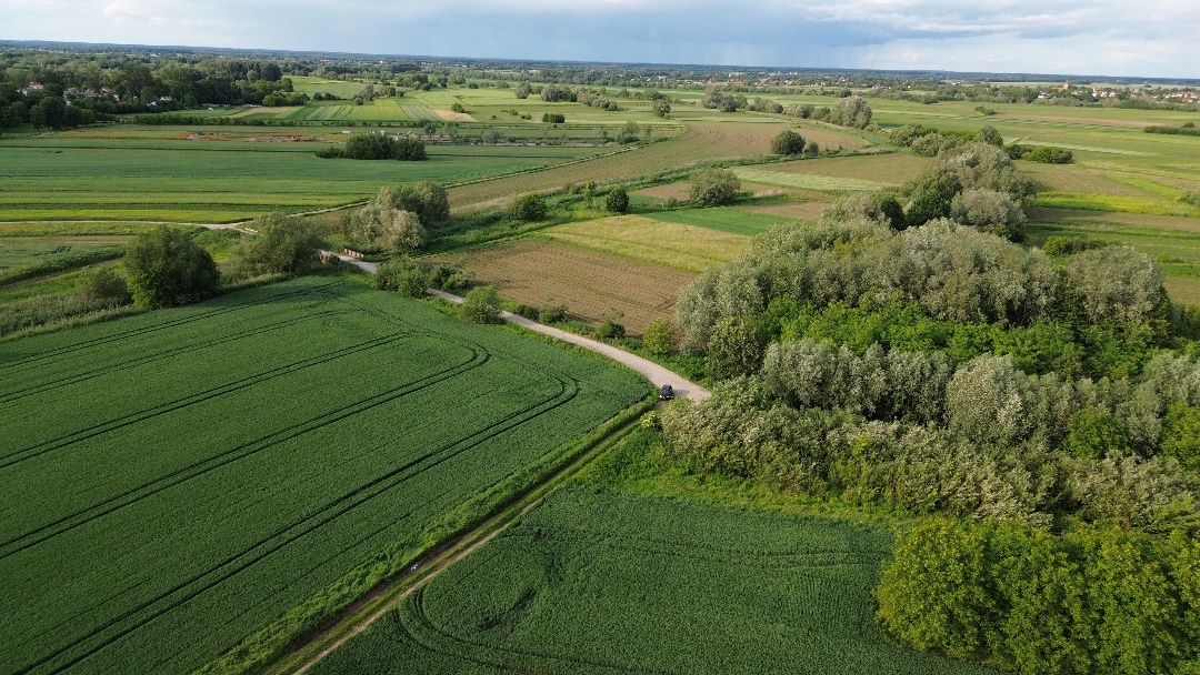
It is a lovely place to test your drone and fly over fields.