Review
Nelliampathi
By 0d83039a-5032-4078-aca1-a626a652df68 · May 27, 2026 9:39 AM
5 out of 5 stars
Accepted
dive straight into the breathtaking beauty of Nelliampathy, along with a detailed drone flying guide and travel review.
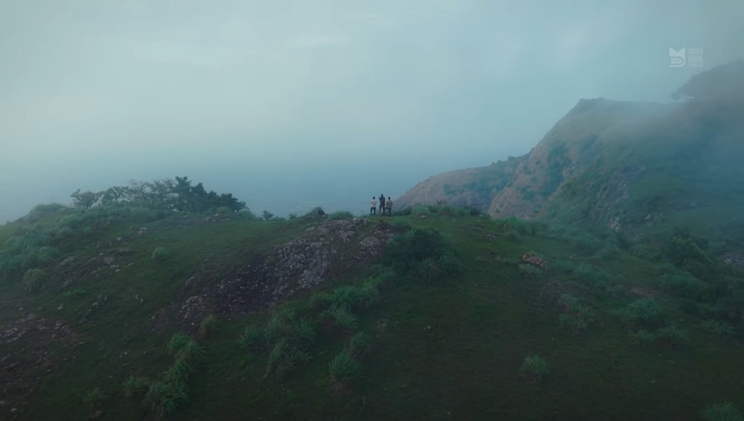
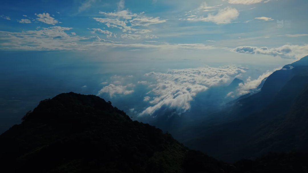
Nelliampathy is a stunning hill station nestled in the Western Ghats. While it sits right on the border of Kerala (Palakkad district) and Tamil Nadu (Coimbatore district), it is geographically located on the Kerala side [1.2.2]. It is often called the "Poor Man's Ooty" because of its untouched, mist-covered landscapes [1.2.3].
The Aerial Drone Flying Guide
Flying a drone over Nelliampathy offers a stunning perspective, but because it is a dense forest reserve and wildlife corridor, you must follow strict safety and legal guidelines [1.2.2, 1.2.5].
Check the Airspace Zones (Digital Sky): Before launching, open the DGCA Digital Sky portal to verify the daily airspace map [1.1.1]. Much of Nelliampathy falls into the Green Zone, meaning nano drones (under 250g like a DJI Mini series) can be flown for recreational purposes without prior permission up to 50 feet [1.1.1, 1.1.3].
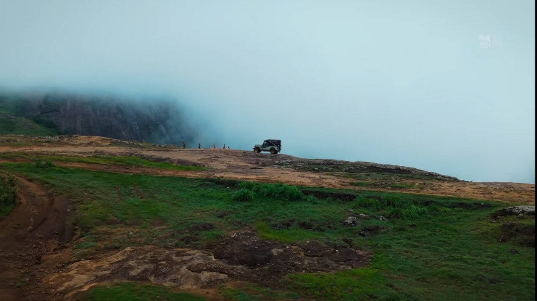
The Forest Reserve "No-Fly" Rule: Nelliampathy borders the Parambikulam Tiger Reserve and contains sensitive wildlife patches [1.2.2]. Never fly your drone inside designated reserve forest boundaries or near wildlife without written permission from the Forest Department [1.1.1]. Animals like the Malabar Giant Squirrel and various hornbills nest here—drone noise can severely stress them [1.2.1, 1.2.4].
Handle the Wind and Mist: The valley gaps create sudden, strong wind drafts. Keep an eye on your drone’s battery levels, as fighting high-altitude winds drains power quickly. Additionally, thick mist can roll in within minutes, completely blocking your visual line of sight.
Review photos