Albie
Showing rules updates and reviews across all places.
Total edits: 68
Reviews: 29
Joined: May 27, 2026
Reputation: 252
Showing 76–97 of 97 activity items.
Page 4 of 4.
Mapped shape change
Old outline is gray. New outline is blue.
May 27, 2026 12:51 PM
Review
Place:
Towersey
5 out of 5 stars
5/5
Fields all around to fly in.
May 27, 2026 12:51 PM
Review
Place:
Haddenham
4 out of 5 stars
4/5
Good village to fly in.
May 27, 2026 12:46 PM
Review
Place:
Abingdon
5 out of 5 stars
5/5
Nice to fly, good photos.
May 27, 2026 12:27 PM
Review
Place:
High Street
5 out of 5 stars
5/5
Going up the flags is fun.
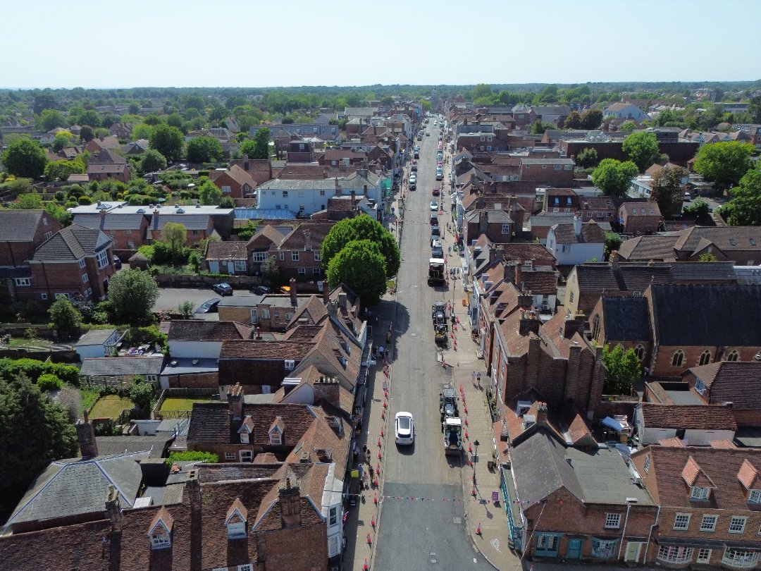
May 27, 2026 10:42 AM
Review
Place:
Bath Road
5 out of 5 stars
5/5
Easy to fly. Lots of space to launch and land.
May 27, 2026 10:34 AM
Review
Place:
Stanpit
5 out of 5 stars
5/5
Great pictures of boats.
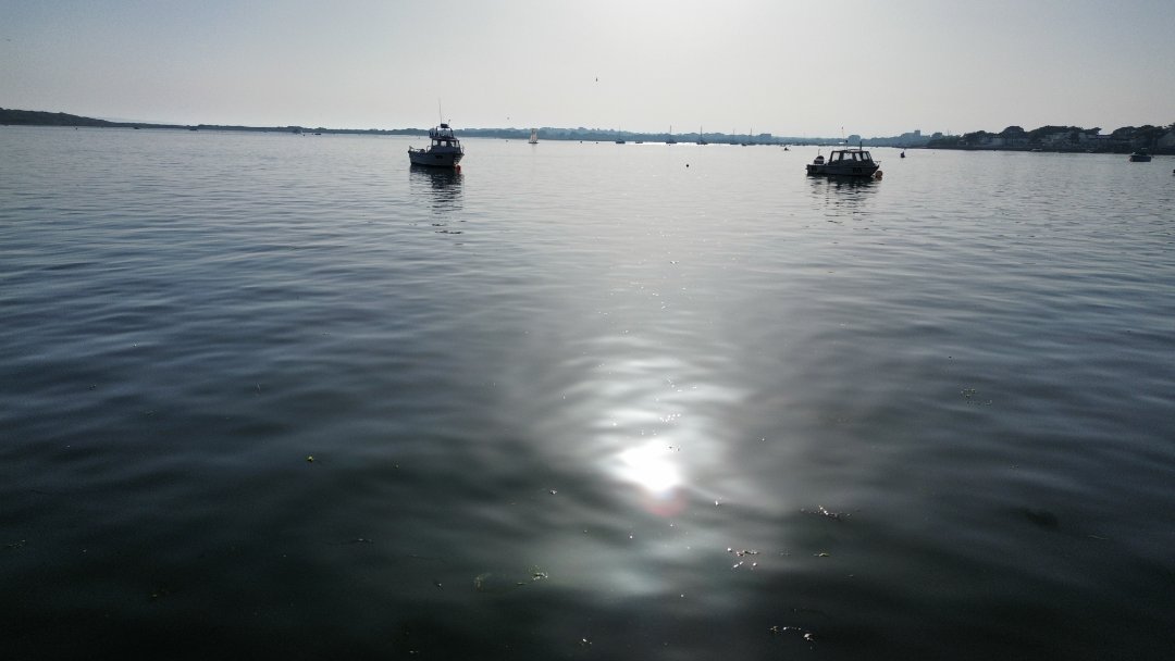
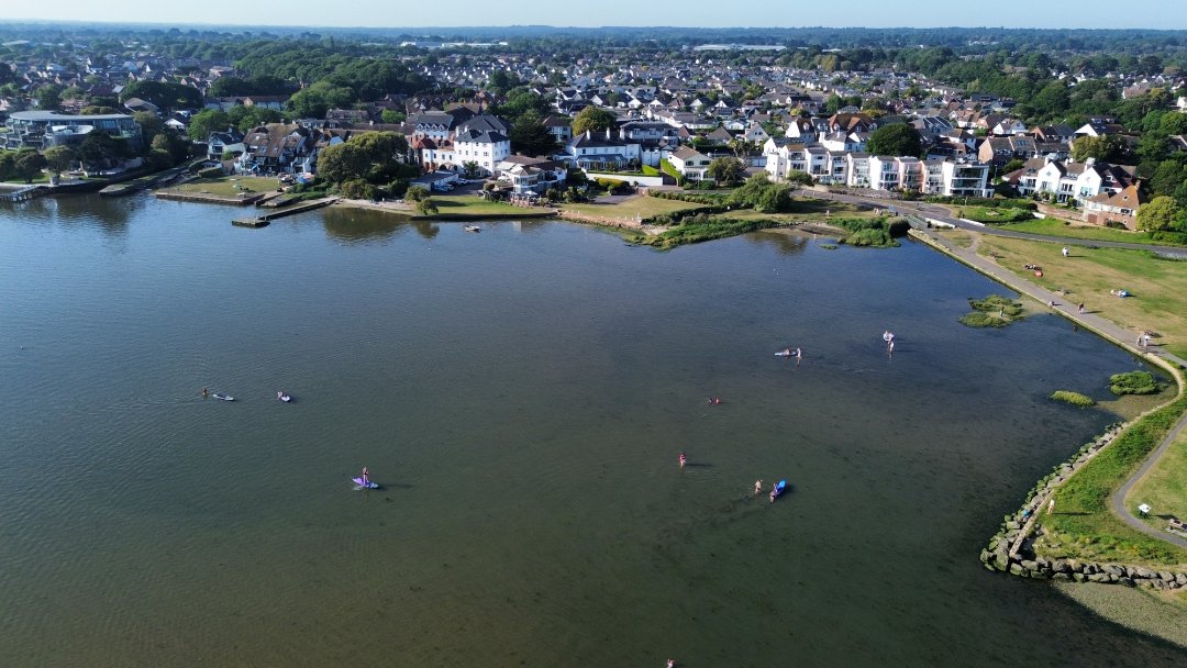
May 27, 2026 10:31 AM
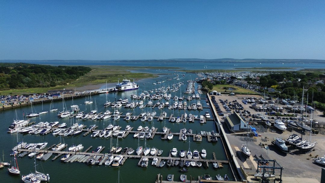
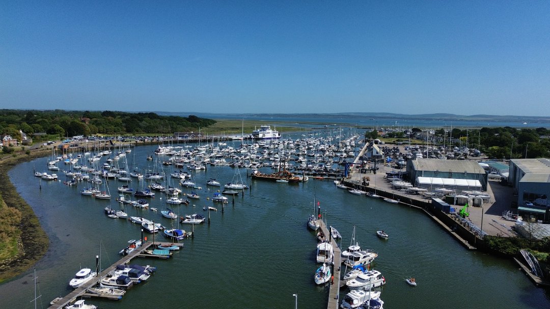
Review
Place:
Mudeford Sandbank
5 out of 5 stars
5/5
Fun to fly along the beach huts.
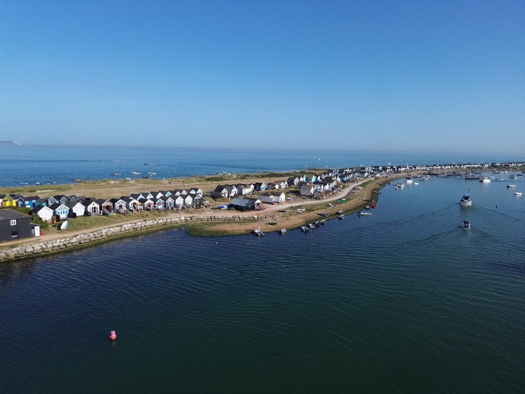
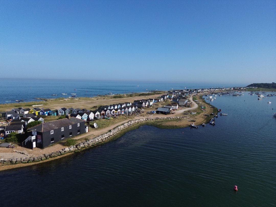
May 27, 2026 10:24 AM
Review
Place:
Mudeford Quay
5 out of 5 stars
5/5
Easy to take off and is calm quite often.
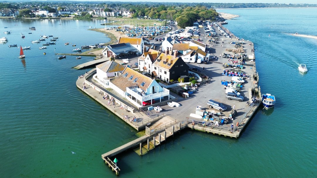
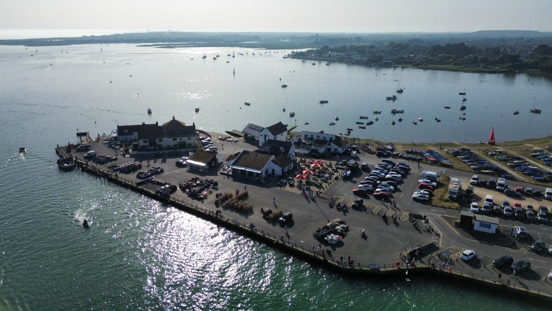
May 27, 2026 10:14 AM
Rules update
• Added reliable source. Corrected the zone.
Place:
RAF Benson Flying Club
Changed fields
Mapped shape change
Click to load this change into the shared map viewer here.
| Field | Before | After |
|---|---|---|
| Summary | UAS Airspace Restriction - You cannot fly here | UAS Airspace Restriction - You cannot fly here. It is an RAF base. |
| Mapped shapes | 824fe7b0-faa2-482d-829d-0ba1745b251b | 1090f586-4ca5-4a8e-a50b-2d1f58381328 |
Before
## Government listed airspace restriction

            This area appears in https://nats-uk.ead-it.com/cms-nats/opencms/en/uas-restriction-zones/

            This page is based on imported UK UAS data and may need additional community review.
After
## Government listed airspace restriction
This is a RAF base. It is s no-fly zone.
            This area appears in https://nats-uk.ead-it.com/cms-nats/opencms/en/uas-restriction-zones/

            This page is based on imported UK UAS data and may need additional community review.
Show inline change markers
  ## Government listed airspace restriction
              This area appears in https://nats-uk.ead-it.com/cms-nats/opencms/en/uas-restriction-zones/

              This page is based on imported UK UAS data and may need additional community review.
May 27, 2026 9:59 AM
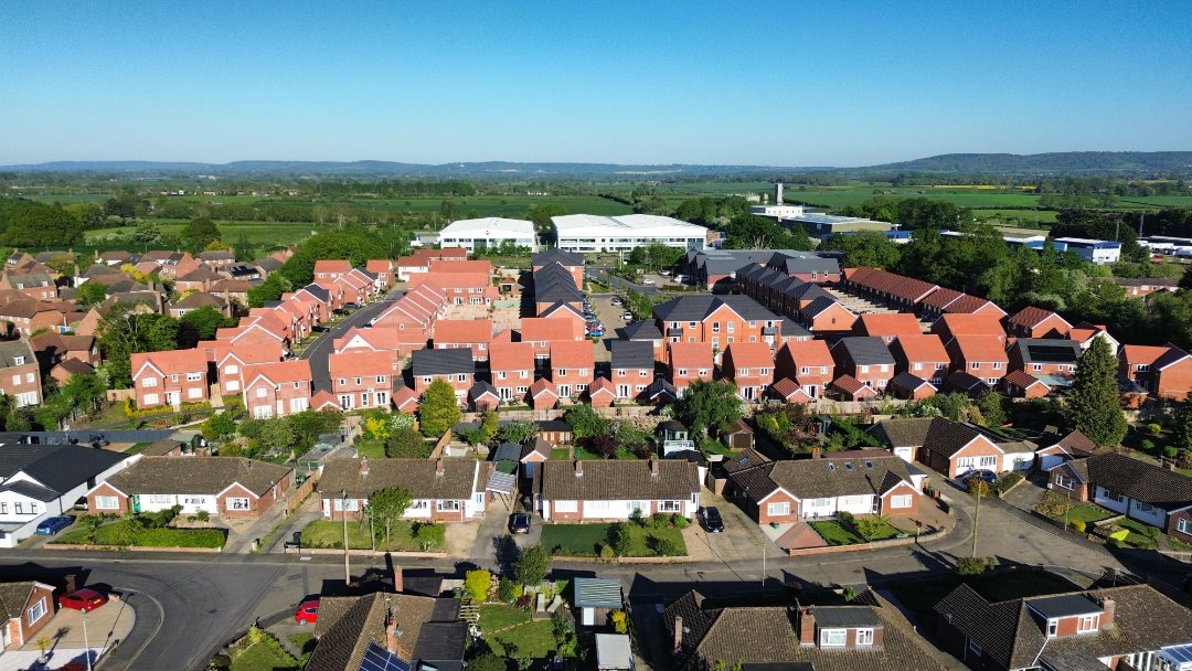
Review
Place:
Beatrice Gardens
4 out of 5 stars
4/5
OK to take off from.
May 27, 2026 9:55 AM
Review
Place:
Cuttle Brook
3 out of 5 stars
3/5
Long grass makes take off quite difficult. There are flat areas to practice flying on though.
May 27, 2026 9:55 AM
Review
Place:
St Mary's Church
4 out of 5 stars
4/5
The field is great for flying on, and you can get some nice photos of the church. The grass is short enough to take off from without issues.
May 27, 2026 9:55 AM
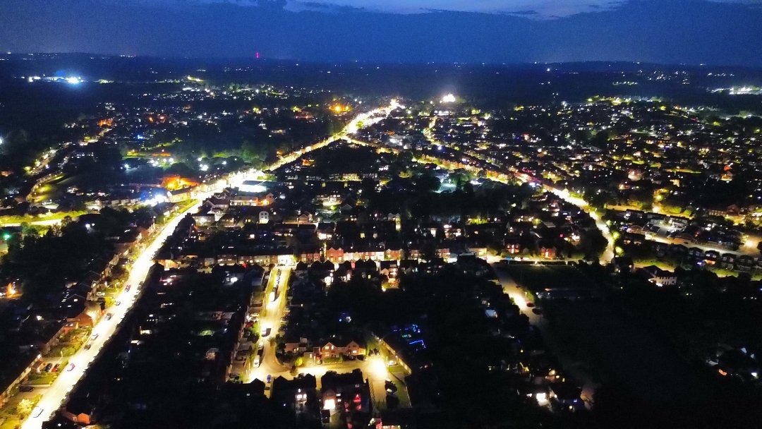
Review
Place:
Chinnor
5 out of 5 stars
5/5
Looks great at night. Hard to take off from.
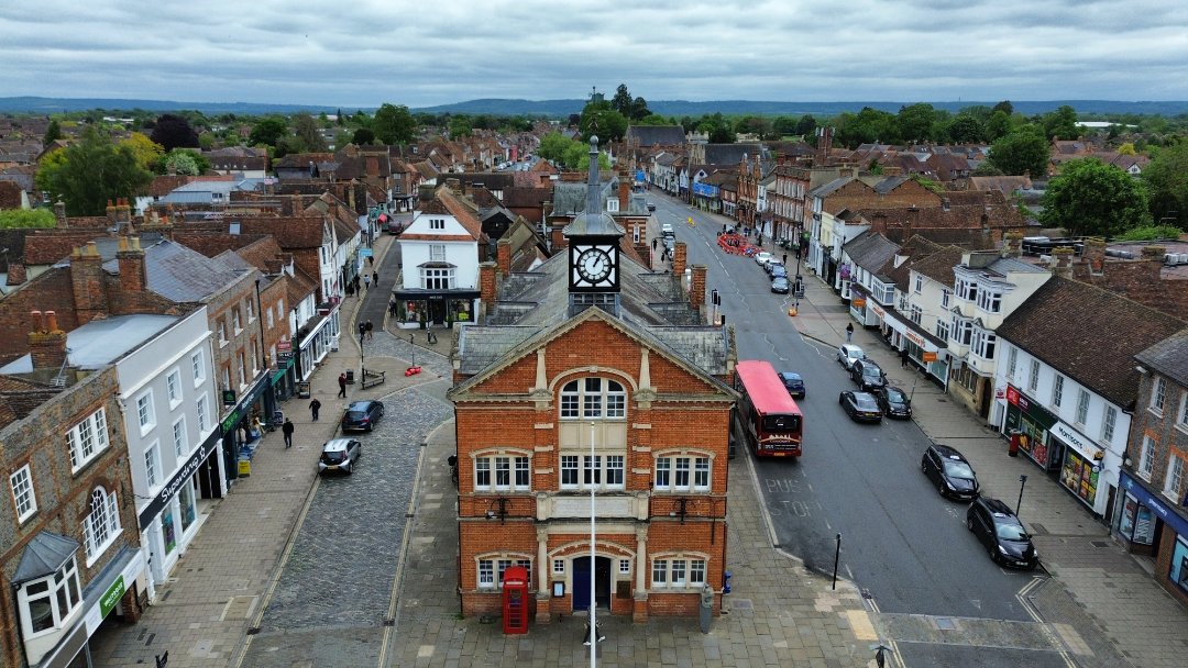
May 27, 2026 9:53 AM
Review
Place:
Town Hall
5 out of 5 stars
5/5
Easy to fly around, not too busy.
May 27, 2026 9:51 AM
Review
Place:
Marchant Court
5 out of 5 stars
5/5
It is difficult to fly here, due to the antenna factory behind creating interfearance.
May 27, 2026 9:49 AM
Rules update
• Created Page With Information
Changed fields
Mapped shape change
Click to load this change into the shared map viewer here.
| Field | Before | After |
|---|---|---|
| Flight status | Unknown | Permission |
| Summary | — | You may not fly over Long Crendon Courthouse, as it is National Trust Property, which does not permit flying over/from their land. |
| Mapped shapes | — | 472f6fd7-8d05-4202-91b7-e57a6b081b38 |
Before
After
Local bylaws restrict flying here, take-off and flying over/around this property is forbidden.
Show inline change markers
+ Local bylaws restrict flying here, take-off and flying over/around this property is forbidden.
May 27, 2026 9:44 AM
Rules update
• Created Page With Information
Place:
New Forest National Park
Changed fields
Mapped shape change
Click to load this change into the shared map viewer here.
| Field | Before | After |
|---|---|---|
| Restriction type | Ground | Air |
| Flight status | Unknown | Permission |
| Summary | — | You may not fly over/take off from 'Crown Land' in New Forest. You may fly from private properties. |
| Mapped shapes | — | f1dd8990-426a-49b8-9d4e-99075ccd384a |
Before
After
Flying over 'Crown Land' is restricted, duo to wildlife concerns.
Show inline change markers
+ Flying over 'Crown Land' is restricted, duo to wildlife concerns.
May 27, 2026 9:41 AM
Rules update
• Corrected the polygon shape.
Place:
HMP Aylesbury
Changed fields
Mapped shape change
Click to load this change into the shared map viewer here.
| Field | Before | After |
|---|---|---|
| Summary | UAS Airspace Restriction - You cannot fly here | HMP is a prison, where you must stay at least 400 meters away from. UAS Airspace Restriction - You cannot fly here. |
| Mapped shapes | 64c3240b-d6e2-48a7-9fff-64cd74e5fe86 | 23331418-6d01-4370-b9fa-5c3537fcbaa8 |
Before
## Government listed airspace restriction


            This area appears in https://nats-uk.ead-it.com/cms-nats/opencms/en/uas-restriction-zones/

            This page is based on imported UK UAS data and may need additional community review.
After
## Government listed airspace restriction

HMP is a prison, so you may not fly over this area.

            This area appears in https://nats-uk.ead-it.com/cms-nats/opencms/en/uas-restriction-zones/

            This page is based on imported UK UAS data and may need additional community review.
Show inline change markers
  ## Government listed airspace restriction

+ HMP is a prison, so you may not fly over this area.
+
              This area appears in https://nats-uk.ead-it.com/cms-nats/opencms/en/uas-restriction-zones/

              This page is based on imported UK UAS data and may need additional community review.
May 27, 2026 9:38 AM
Rules update
• Created Page With Information
Place:
National Trust - Hughenden
Changed fields
Mapped shape change
Click to load this change into the shared map viewer here.
| Field | Before | After |
|---|---|---|
| Flight status | Unknown | Permission |
| Summary | — | National Trust does not allow flying in/over their properties. |
| Mapped shapes | — | bd80d75c-bd80-45b4-adf5-490de5054e0f |
Before
After
Local bylaws restrict flying over/from Hughenden.
Show inline change markers
+ Local bylaws restrict flying over/from Hughenden.
May 27, 2026 9:35 AM
Rules update
• Created Page With Information
Place:
Waddesdon Manor
Changed fields
Mapped shape change
Click to load this change into the shared map viewer here.
| Field | Before | After |
|---|---|---|
| Flight status | Unknown | Permission |
| Summary | — | The National Trust prohibits flying over, and from Waddesdon Manor |
| Mapped shapes | — | 98a832ef-3c60-4012-b2fb-ab6f3e608726 |
Before
After
Local bylaws do not allow flying hear, as it could disturb visitors and wildlife.
Show inline change markers
+ Local bylaws do not allow flying hear, as it could disturb visitors and wildlife.
May 27, 2026 9:31 AM
Rules update
• Changed polygon, as it was covering half of the UK, and was incorrect.
Place:
4GJP+PP Dover, UK
Changed fields
Mapped shape change
Click to load this change into the shared map viewer here.
| Field | Before | After |
|---|---|---|
| Mapped shapes | d569804b-ebb6-43a5-81be-204ee35d5f05 | d4ecca4c-ab05-4431-afb4-7e537c8c4a10 |
Before
## Government listed airspace restriction

            This area appears in https://nats-uk.ead-it.com/cms-nats/opencms/en/uas-restriction-zones/

            This page is based on imported UK UAS data and may need additional community review.
After
## Government listed airspace restriction

            This area appears in https://nats-uk.ead-it.com/cms-nats/opencms/en/uas-restriction-zones/

            This page is based on imported UK UAS data and may need additional community review.
Show inline change markers
  ## Government listed airspace restriction

              This area appears in https://nats-uk.ead-it.com/cms-nats/opencms/en/uas-restriction-zones/

              This page is based on imported UK UAS data and may need additional community review.
May 27, 2026 9:29 AM
Rules update
• Created Page With Information
Place:
Stonehenge
Changed fields
Mapped shape change
Click to load this change into the shared map viewer here.
| Field | Before | After |
|---|---|---|
| Flight status | Unknown | Permission |
| Summary | — | You may not fly over or take off or land on National Trust land. |
| Mapped shapes | — | 012dd3cd-fafe-4e70-ad14-0832b598c9ce |
Before
After
There are bylaws restricting this, as stated on the National Trust's webpage.
Show inline change markers
+ There are bylaws restricting this, as stated on the National Trust's webpage.