SoniAnderson
Showing rules updates and reviews across all places.
Total edits: 360
Reviews: 56
Joined: Jun 1, 2026
Reputation: 1,004
Showing 301–325 of 416 activity items.
Page 13 of 17.
Mapped shape change
Old outline is gray. New outline is blue.
Jun 2, 2026 9:24 PM
Review
5 out of 5 stars
5/5
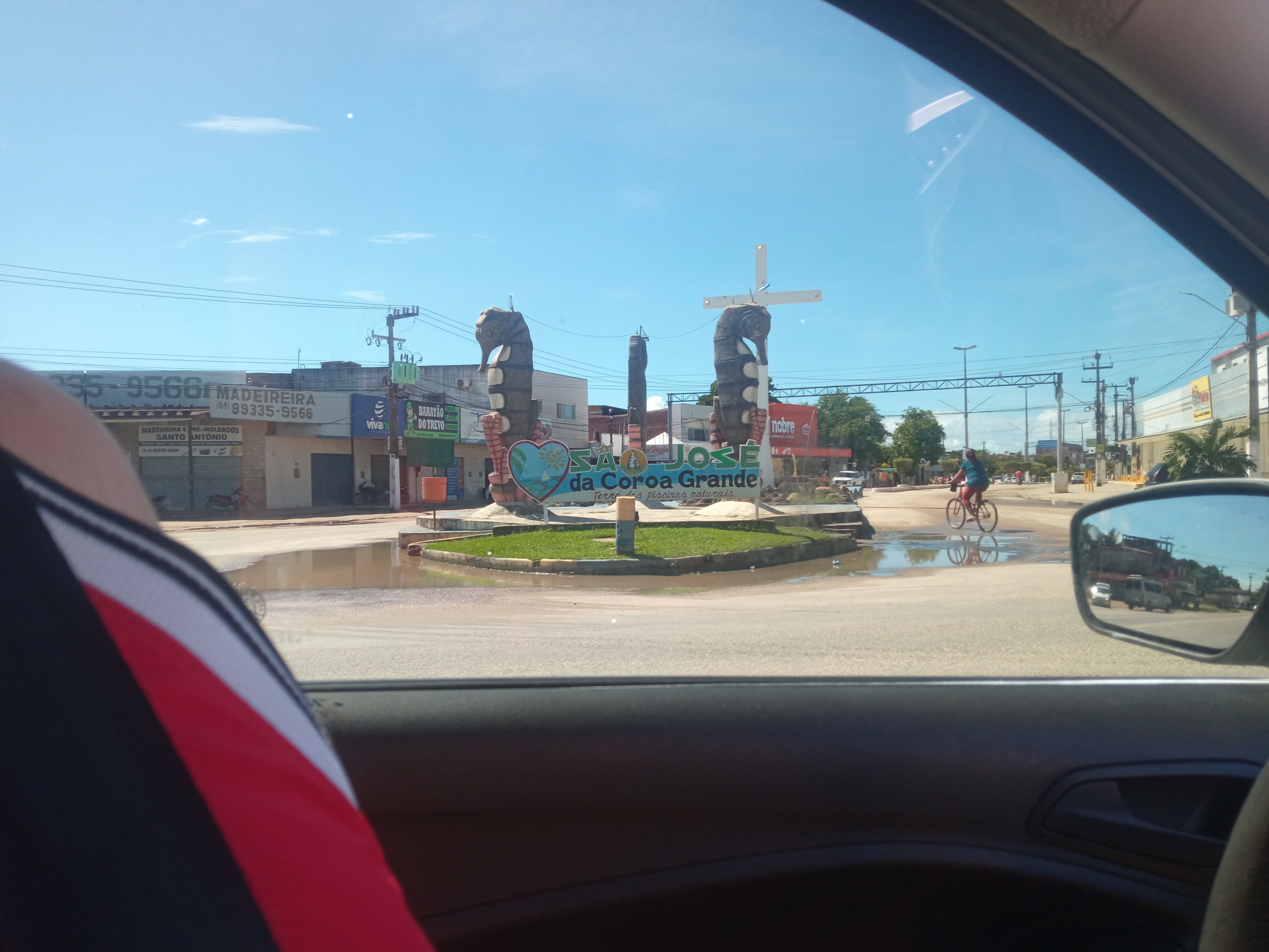
From this location, you'll have an incredible view of the beach, and it's a great spot for taking drone photos.
Jun 2, 2026 9:22 PM
Review
3 out of 5 stars
3/5
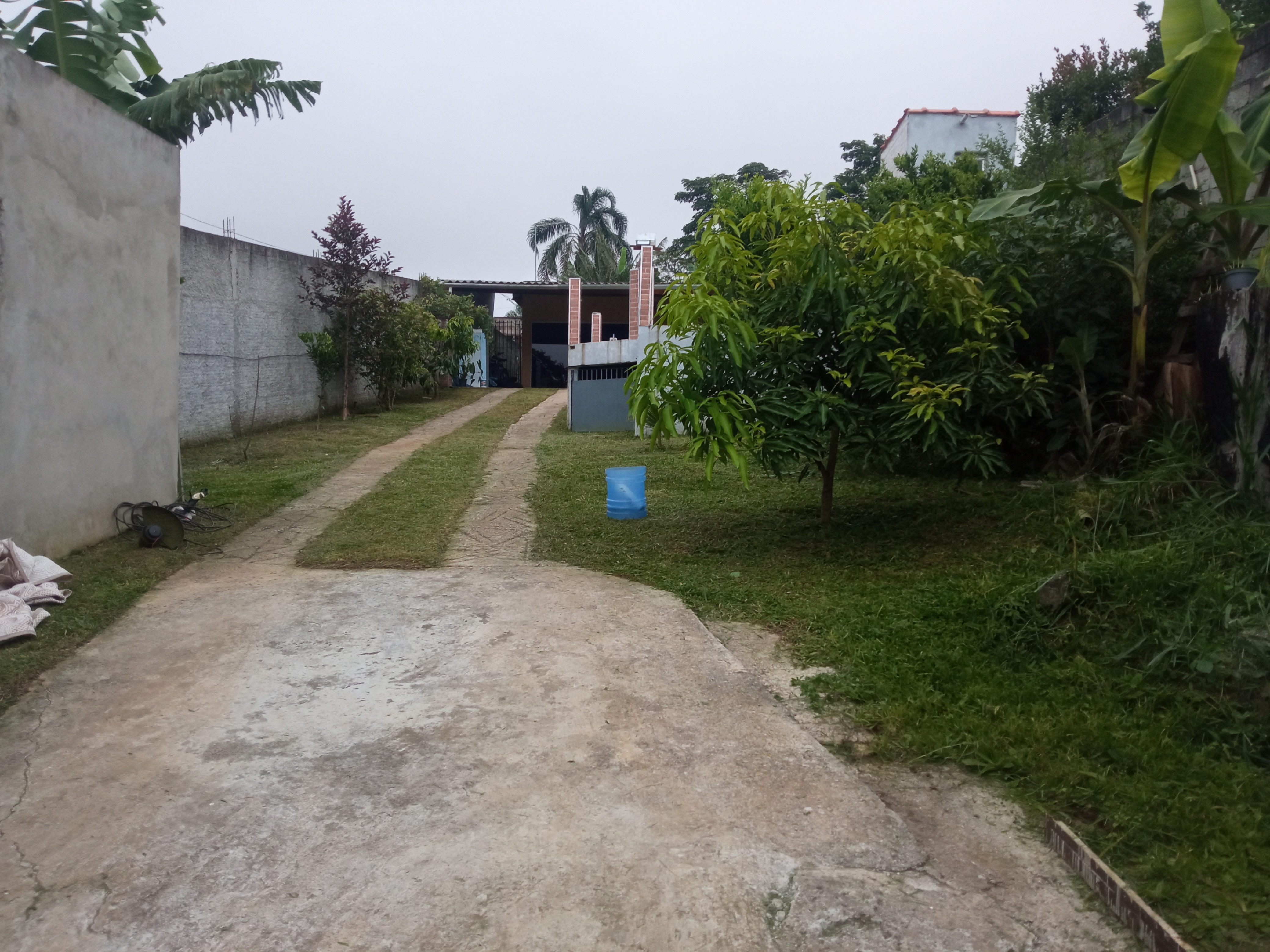
In this region, there are many places for you to explore with your drone. You'll love it! There's plenty of nature and the wind isn't too strong for drones.
Jun 2, 2026 9:18 PM
Review
Place:
Jardim Shangrilá (Zona Sul)
3 out of 5 stars
3/5
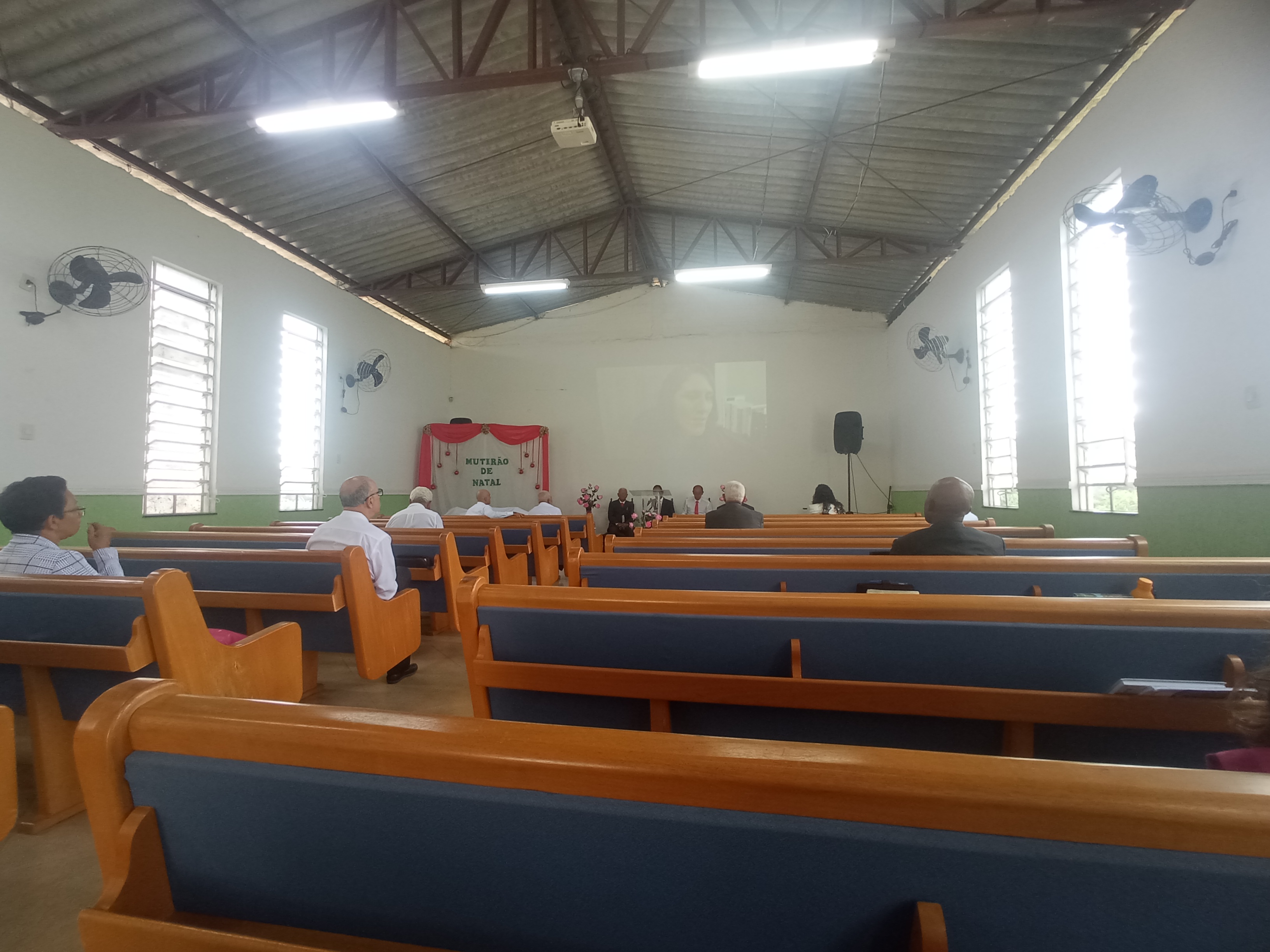
surrounding this church you are possible to fly with your drone, have so much nature.
Jun 2, 2026 9:17 PM
Review
5 out of 5 stars
5/5
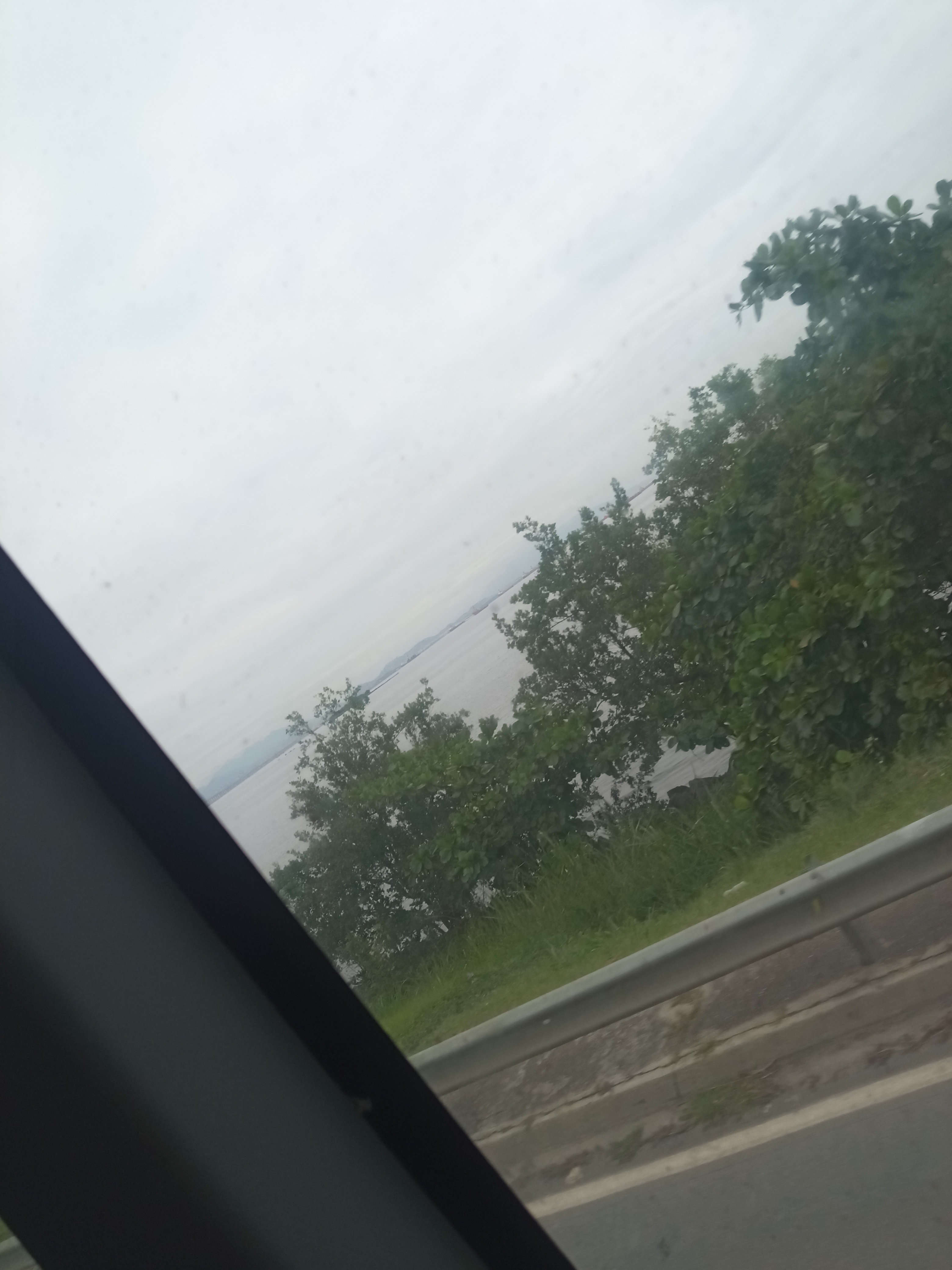
I really like this place because it's beautiful, with a river running alongside the road!
Jun 2, 2026 9:14 PM
Review
5 out of 5 stars
5/5
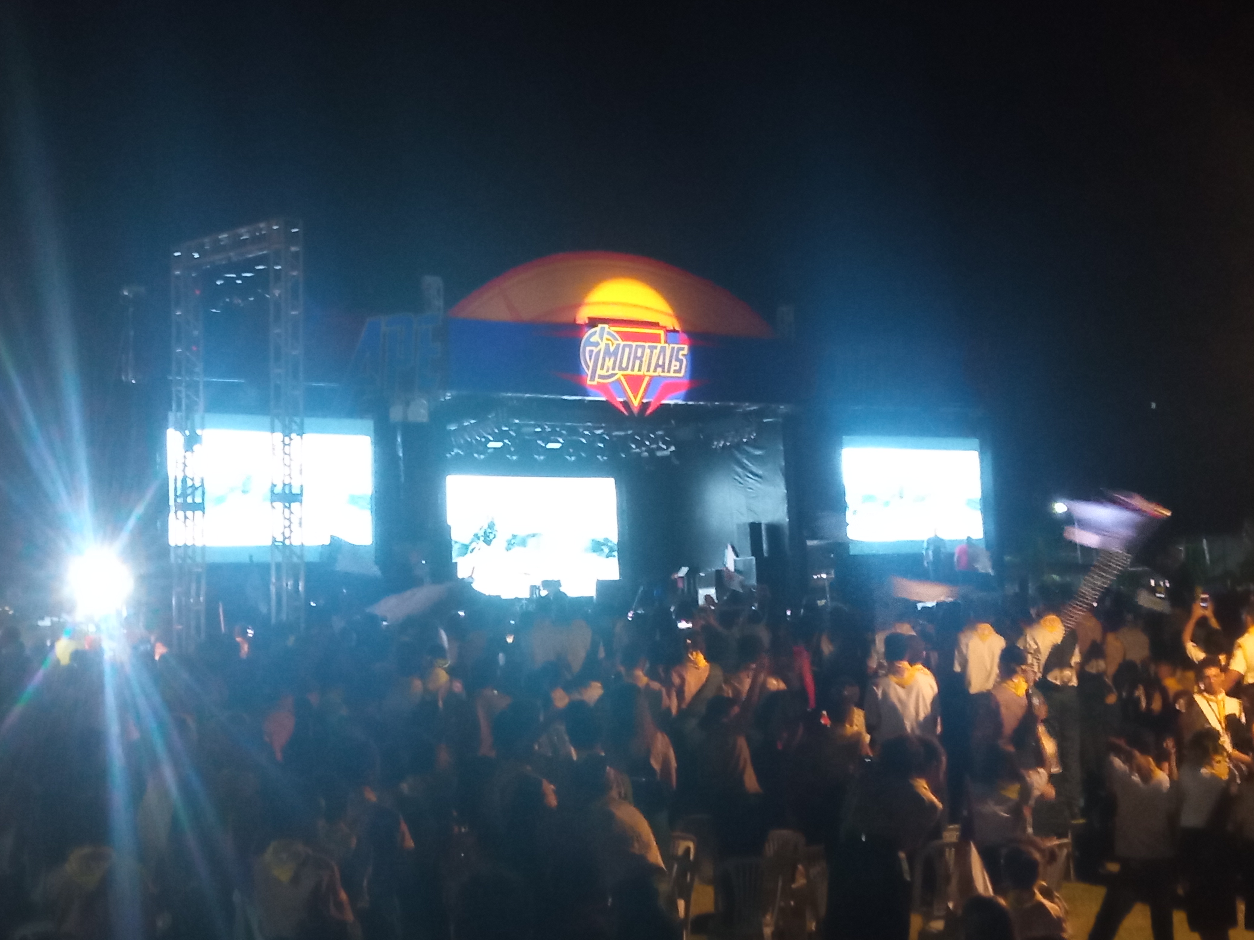
It's a nice spot, quite open, but it's a private area; if you want to take photos, ask permission first.
Jun 2, 2026 9:13 PM
Review
Place:
Cachoeira Júlio Barão
5 out of 5 stars
5/5
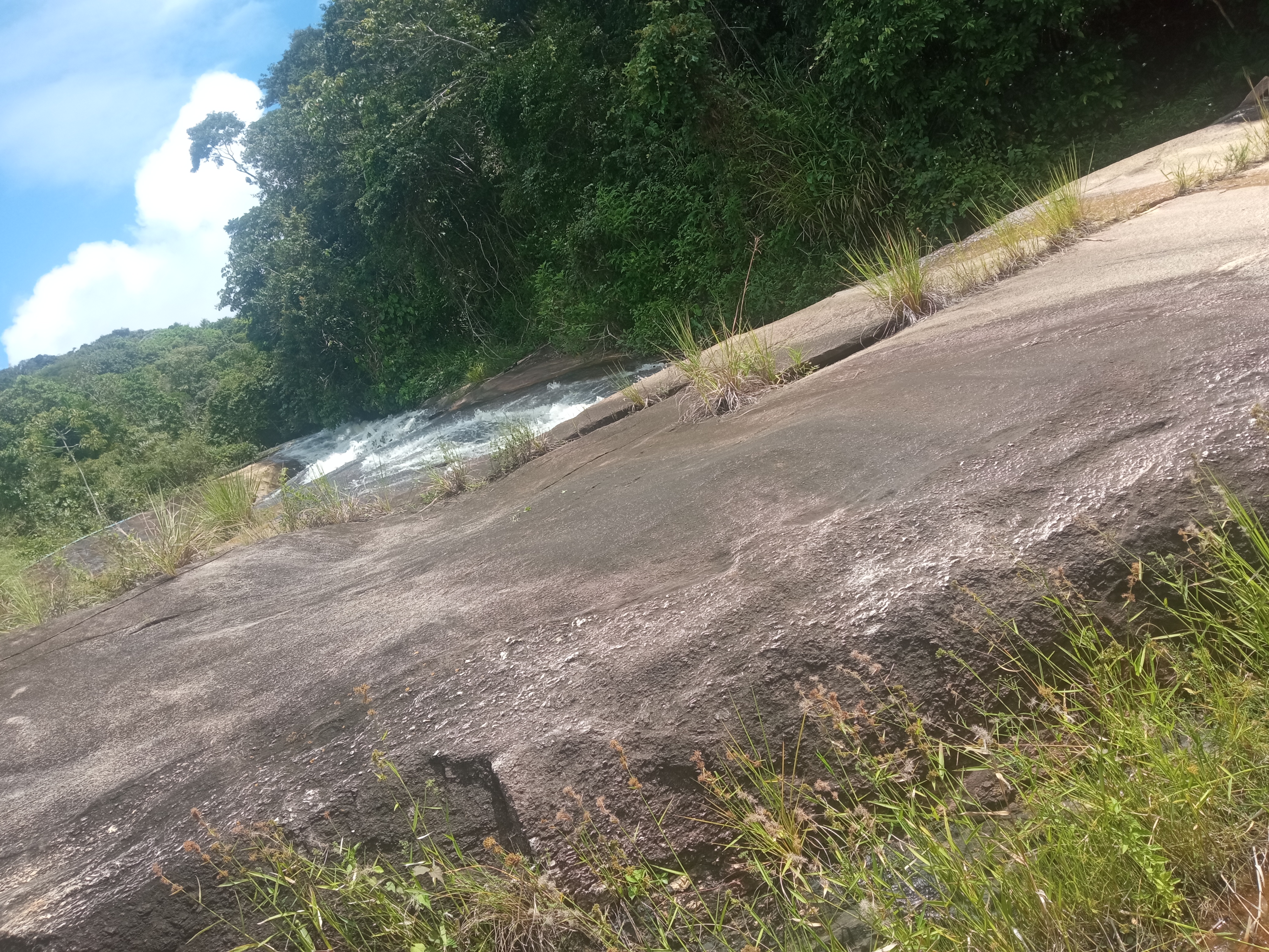
In this local have one waterfall and so many trees, are perfect to get a good shots.
Jun 2, 2026 9:11 PM
Review
Place:
IEADPE Caruaru - Maria Preta
5 out of 5 stars
5/5
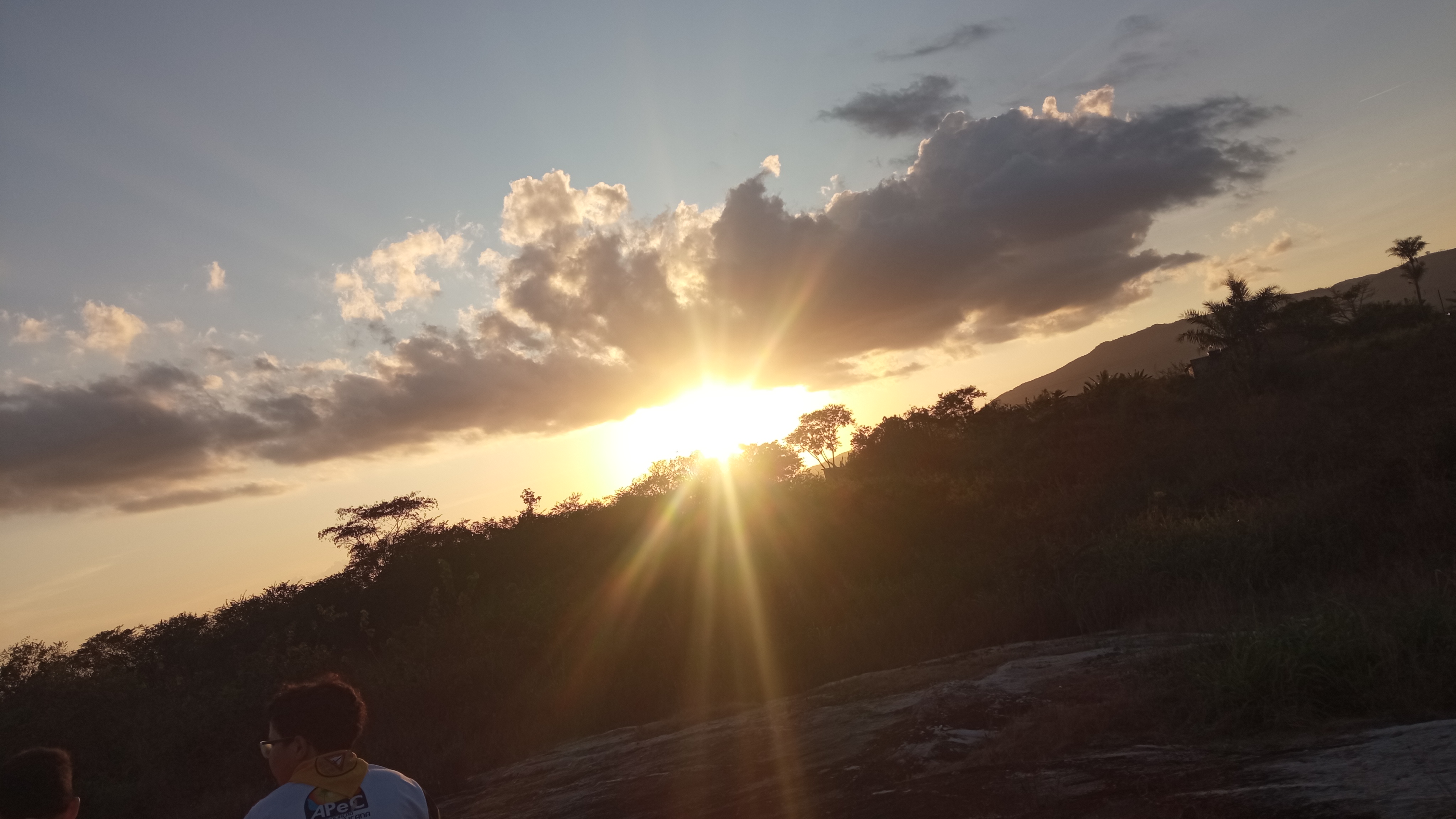
Right here have one beatiful sunset and you will got a pretty good images using the drone.
Jun 2, 2026 9:10 PM
Review
Place:
Praça do Marco Zero
5 out of 5 stars
5/5
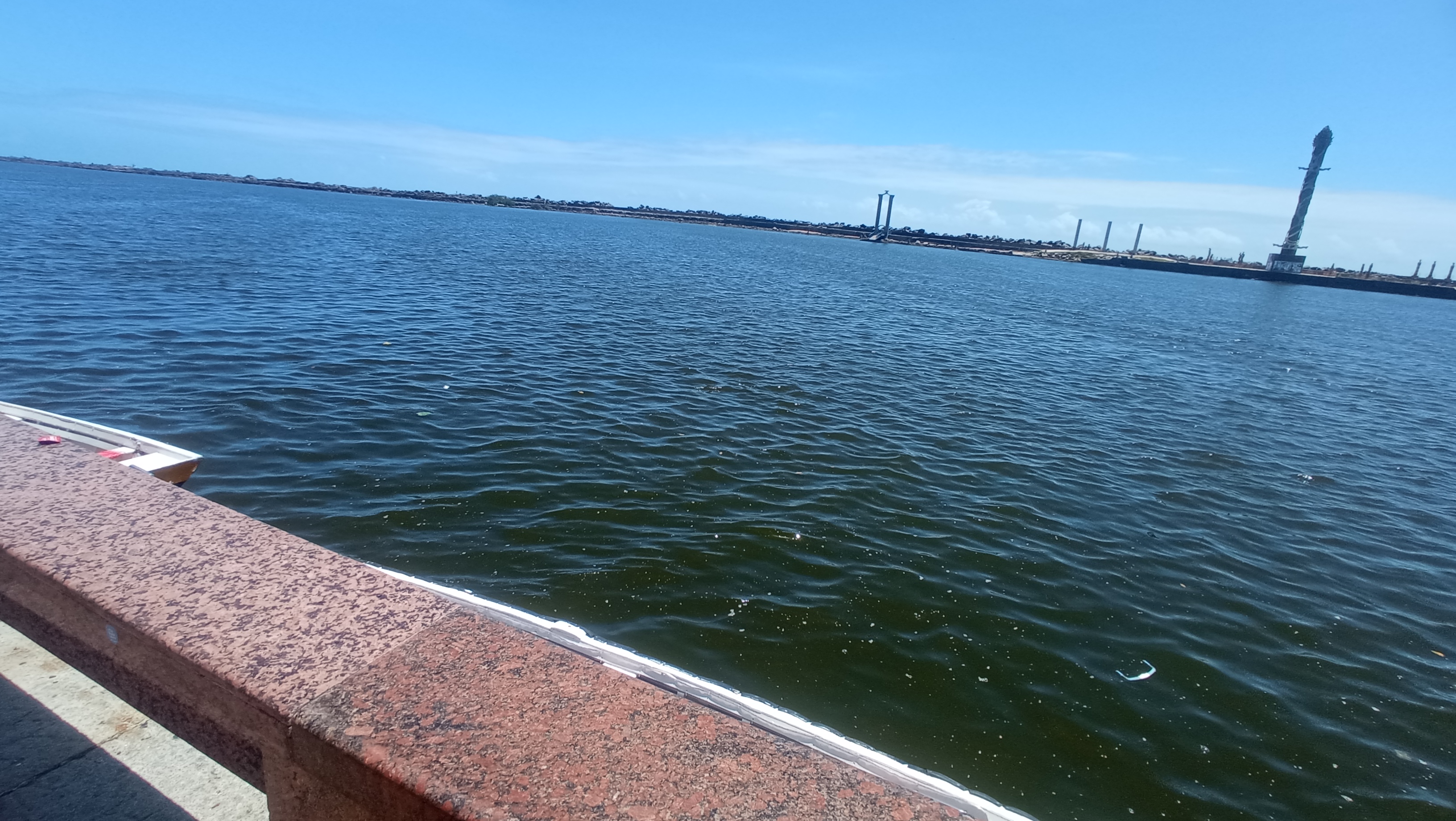
This location offers excellent opportunities to capture images and videos using a drone, as there is ample water and a harbor.
Jun 2, 2026 9:07 PM
Review
Place:
Offspring Clothing
4 out of 5 stars
4/5
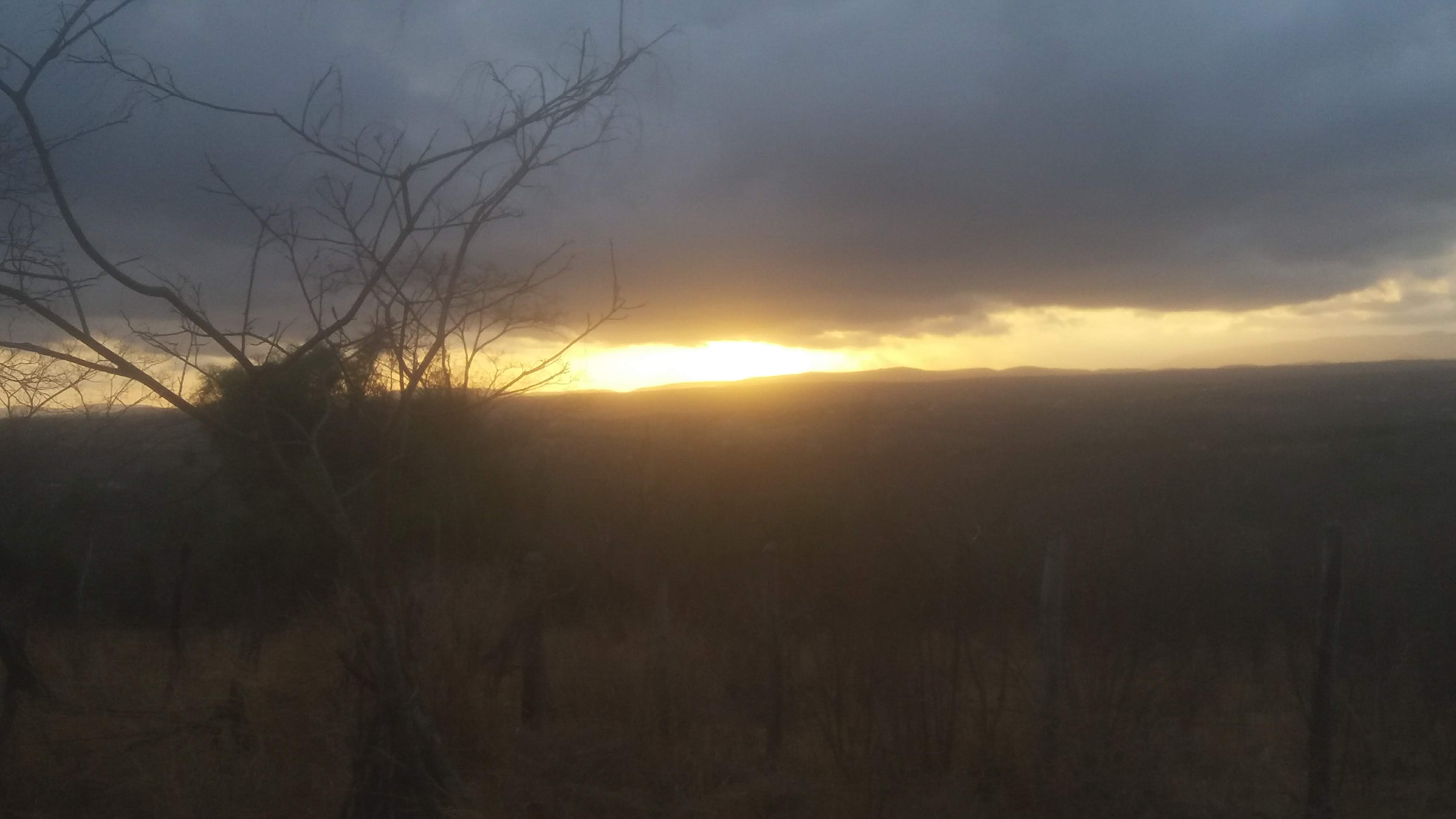
Open area, but with many bushes. Care must be taken in case of collision. Great photos!
Jun 2, 2026 9:03 PM
Review
5 out of 5 stars
5/5
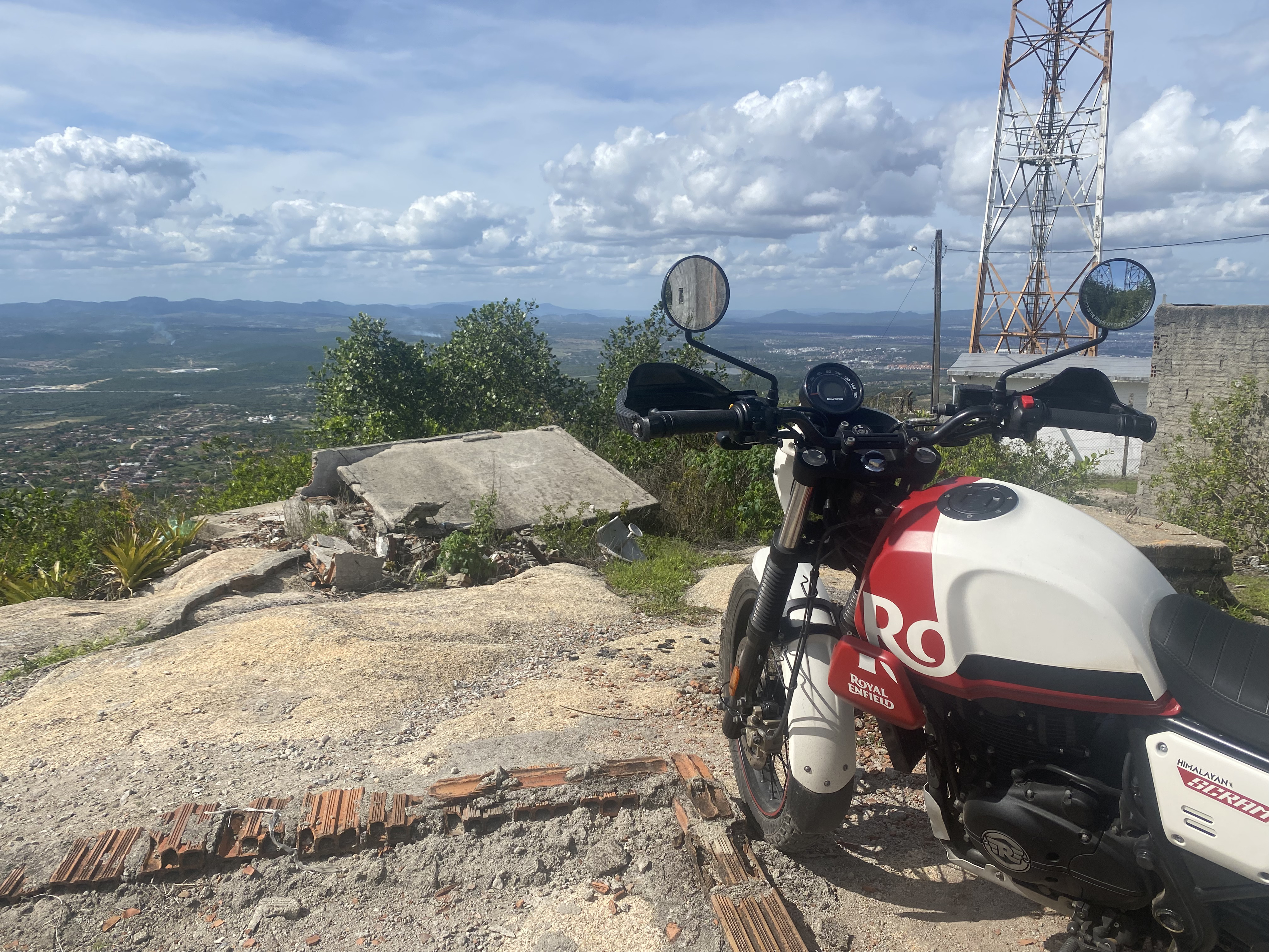
This local is very good, you will got a very good shots using the drone, but you need a be careful about the strong wind.
Jun 2, 2026 9:03 PM
Review
5 out of 5 stars
5/5
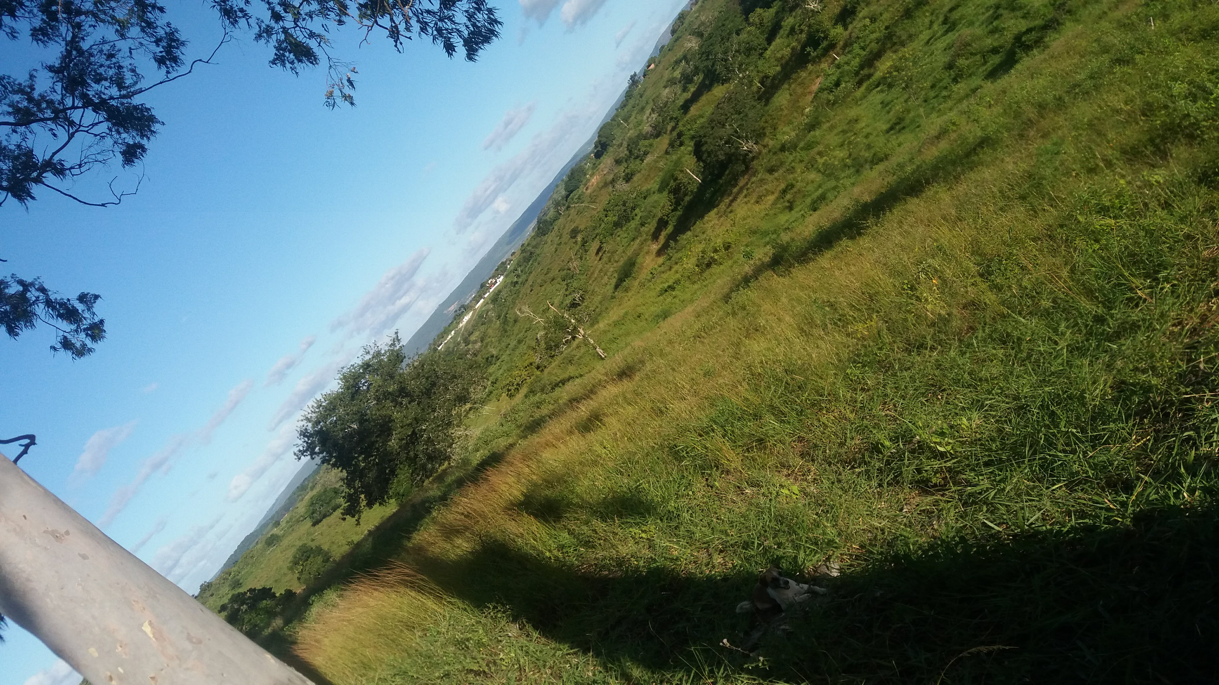
This place has many trees and a large open area with controlled wind, which allows for taking very good photos
Jun 2, 2026 9:02 PM
Rules update
• A defined zone covering drone launch and landing activities has been incorporated into the map.
Place:
Shopping RioMar Aracaju
Changed fields
Mapped shape change
Click to load this change into the shared map viewer here.
| Field | Before | After |
|---|---|---|
| Flight status | Unknown | Allowed |
| Summary | — | RioMar Aracaju is a major shopping and entertainment destination serving the capital of Sergipe. Drone operations in the vicinity should respect local property policies while complying with Brazilian aviation regulations. |
| Mapped shapes | — | b7159604-01d3-47f2-bd11-7616f30e23eb |
Before
After
The area surrounding RioMar Aracaju may be used for drone launch activities provided all applicable operational and property-related requirements are observed. Shopping management may regulate activities occurring on private property, while airspace access remains governed by aviation regulations and operational safety considerations.

The area surrounding private commercial properties may support drone launch and landing activities, provided operators comply with local property requirements and national aviation regulations. While property owners may control activities taking place on their land, airspace access is governed by the regulations established by DECEA, ANAC, and other competent agencies.
Show inline change markers
+ The area surrounding RioMar Aracaju may be used for drone launch activities provided all applicable operational and property-related requirements are observed. Shopping management may regulate activities occurring on private property, while airspace access remains governed by aviation regulations and operational safety considerations.
+
+ The area surrounding private commercial properties may support drone launch and landing activities, provided operators comply with local property requirements and national aviation regulations. While property owners may control activities taking place on their land, airspace access is governed by the regulations established by DECEA, ANAC, and other competent agencies.
Jun 2, 2026 8:59 PM
Review
5 out of 5 stars
5/5
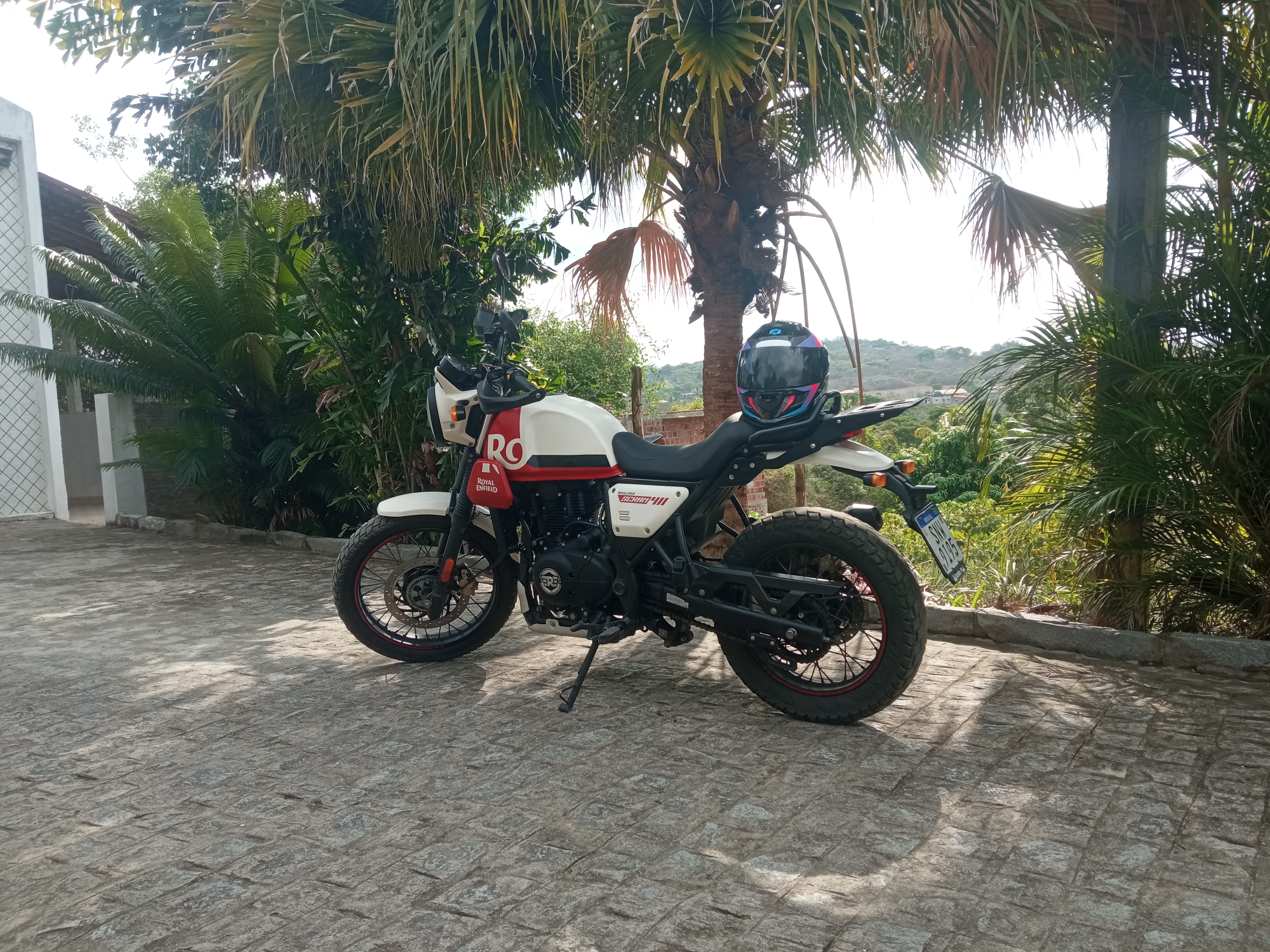
On this church are possible you get a so good images using the drone, is the top of that peak.
Jun 2, 2026 7:08 PM
Rules update
• A defined zone covering drone launch and landing activities has been incorporated into the map.
Place:
Partage Norte Shopping
Changed fields
Mapped shape change
Click to load this change into the shared map viewer here.
| Field | Before | After |
|---|---|---|
| Flight status | Unknown | Allowed |
| Summary | — | Partage Norte Shopping is an important commercial hub serving the northern portion of the Natal metropolitan area. Drone launch and landing activities near the property should be conducted responsibly and in compliance with applicable regulations. |
| Mapped shapes | — | 744fc8a7-79d6-4816-bac3-2e9c129e2a16 |
Before
After
Drone launch and landing activities may be conducted near Partage Norte Shopping where authorized and compliant with applicable regulations. Operators should respect private property rules while ensuring that flights are conducted safely and in accordance with airspace requirements established by aviation authorities.

The area surrounding private commercial properties may support drone launch and landing activities, provided operators comply with local property requirements and national aviation regulations. While property owners may control activities taking place on their land, airspace access is governed by the regulations established by DECEA, ANAC, and other competent agencies.
Show inline change markers
+ Drone launch and landing activities may be conducted near Partage Norte Shopping where authorized and compliant with applicable regulations. Operators should respect private property rules while ensuring that flights are conducted safely and in accordance with airspace requirements established by aviation authorities.
+
+ The area surrounding private commercial properties may support drone launch and landing activities, provided operators comply with local property requirements and national aviation regulations. While property owners may control activities taking place on their land, airspace access is governed by the regulations established by DECEA, ANAC, and other competent agencies.
Jun 2, 2026 7:05 PM
Rules update
• A defined zone covering drone launch and landing activities has been incorporated into the map.
Place:
Manaira Shopping
Changed fields
Mapped shape change
Click to load this change into the shared map viewer here.
| Field | Before | After |
|---|---|---|
| Flight status | Unknown | Allowed |
| Summary | — | Manaíra Shopping is one of the largest retail complexes in northeastern Brazil and serves as a significant commercial destination in João Pessoa. Drone operations in nearby areas should be planned carefully and conducted in accordance with applicable aviation and property requirements. |
| Mapped shapes | — | 37384f6d-e142-4980-8089-93c135e6d429 |
Before
After
The vicinity of Manaíra Shopping may support drone launch operations when conducted responsibly and in accordance with national aviation regulations. Property owners may establish operational restrictions within private premises, but such restrictions do not independently govern surrounding airspace. Safe operating practices should always be maintained.
Show inline change markers
+ The vicinity of Manaíra Shopping may support drone launch operations when conducted responsibly and in accordance with national aviation regulations. Property owners may establish operational restrictions within private premises, but such restrictions do not independently govern surrounding airspace. Safe operating practices should always be maintained.
Jun 2, 2026 6:58 PM
Rules update
• The operational perimeter associated with the takeoff and landing area has been added.
Place:
Teresina Shopping
Changed fields
Mapped shape change
Click to load this change into the shared map viewer here.
| Field | Before | After |
|---|---|---|
| Flight status | Unknown | Allowed |
| Summary | — | Teresina Shopping (Teresina, PI) - Ground / Launch Site Allowed |
| Mapped shapes | — | dd60ce19-1b88-4b37-a98f-e1dbf499243b |
Before
After
Drone pilots may utilize areas near Teresina Shopping for launch and recovery activities when permitted by property rules and aviation regulations. The shopping center may regulate activities occurring on its property, including commercial filming and drone takeoff operations, while airspace access remains subject to applicable aviation authorities.

Drone launch and landing activities may be permitted within or near private commercial properties, subject to property management policies and applicable Brazilian aviation regulations. While property owners may regulate activities conducted on their premises, access to airspace remains subject to the rules established by DECEA, ANAC, and other competent authorities.
Show inline change markers
+ Drone pilots may utilize areas near Teresina Shopping for launch and recovery activities when permitted by property rules and aviation regulations. The shopping center may regulate activities occurring on its property, including commercial filming and drone takeoff operations, while airspace access remains subject to applicable aviation authorities.
+
+ Drone launch and landing activities may be permitted within or near private commercial properties, subject to property management policies and applicable Brazilian aviation regulations. While property owners may regulate activities conducted on their premises, access to airspace remains subject to the rules established by DECEA, ANAC, and other competent authorities.
Jun 2, 2026 6:56 PM
Rules update
• A defined zone covering drone launch and landing activities has been incorporated into the map.
Place:
Shopping da Ilha
Changed fields
Mapped shape change
Click to load this change into the shared map viewer here.
| Field | Before | After |
|---|---|---|
| Flight status | Unknown | Allowed |
| Summary | — | Shopping da Ilha (São Luís, MA) - Ground / Launch Site Allowed. |
| Mapped shapes | — | 16096d0c-724e-4fa2-98ab-898de735e5d4 |
Before
After
The area around Shopping da Ilha may serve as a suitable drone launch location provided operations are conducted safely and in accordance with applicable regulations. Permission from property management may be required for activities taking place within private areas. Operators should assess surrounding population density and any nearby airspace restrictions before flight.

The area surrounding private commercial properties may support drone launch and landing activities, provided operators comply with local property requirements and national aviation regulations. While property owners may control activities taking place on their land, airspace access is governed by the regulations established by DECEA, ANAC, and other competent agencies.
Show inline change markers
+ The area around Shopping da Ilha may serve as a suitable drone launch location provided operations are conducted safely and in accordance with applicable regulations. Permission from property management may be required for activities taking place within private areas. Operators should assess surrounding population density and any nearby airspace restrictions before flight.
+
+ The area surrounding private commercial properties may support drone launch and landing activities, provided operators comply with local property requirements and national aviation regulations. While property owners may control activities taking place on their land, airspace access is governed by the regulations established by DECEA, ANAC, and other competent agencies.
+
Jun 2, 2026 6:52 PM
Rules update
• The operational perimeter associated with the takeoff and landing area has been added.
Place:
Shopping RioMar Fortaleza
Changed fields
Mapped shape change
Click to load this change into the shared map viewer here.
| Field | Before | After |
|---|---|---|
| Flight status | Unknown | Allowed |
| Summary | — | RioMar Fortaleza (Fortaleza, CE) - Ground / Launch Site Allowed |
| Mapped shapes | — | 5ff8cdee-89d9-46b7-8f90-43c4ef185eab |
Before
After
Drone operations launched near RioMar Fortaleza may be conducted where permitted by applicable regulations and property policies. The shopping center may restrict takeoff, landing, or commercial recording activities within its premises, but does not regulate the surrounding airspace. Operators remain responsible for ensuring compliance with DECEA, ANAC, and ANATEL requirements.

Drone launch and landing activities may be permitted within or near private commercial properties, subject to property management policies and applicable Brazilian aviation regulations. While property owners may regulate activities conducted on their premises, access to airspace remains subject to the rules established by competent authorities.
Show inline change markers
+ Drone operations launched near RioMar Fortaleza may be conducted where permitted by applicable regulations and property policies. The shopping center may restrict takeoff, landing, or commercial recording activities within its premises, but does not regulate the surrounding airspace. Operators remain responsible for ensuring compliance with DECEA, ANAC, and ANATEL requirements.
+
+ Drone launch and landing activities may be permitted within or near private commercial properties, subject to property management policies and applicable Brazilian aviation regulations. While property owners may regulate activities conducted on their premises, access to airspace remains subject to the rules established by competent authorities.
+
Jun 2, 2026 6:40 PM
Rules update
• The operational perimeter associated with the takeoff and landing area has been added.
Place:
Salvador Shopping
Changed fields
Mapped shape change
Click to load this change into the shared map viewer here.
| Field | Before | After |
|---|---|---|
| Flight status | Unknown | Allowed |
| Summary | — | Salvador Shopping (Salvador, BA) - Ground / Launch Site Allowed |
| Mapped shapes | — | 10f838a7-2bed-4bb0-afae-632daaec4adc |
Before
After
The vicinity of Salvador Shopping may be used for drone launch operations when conducted in accordance with Brazilian aviation regulations and property access requirements. Shopping management may establish rules regarding activities performed on private property; however, such policies do not extend to control of public airspace. Drone pilots should maintain safe distances from people and verify any applicable airspace restrictions before flight.

Drone launch and landing activities may be permitted within or near private commercial properties, subject to property management policies and applicable Brazilian aviation regulations. While property owners may regulate activities conducted on their premises, access to airspace remains subject to the rules established by DECEA, ANAC, and other competent authorities.
Show inline change markers
+ The vicinity of Salvador Shopping may be used for drone launch operations when conducted in accordance with Brazilian aviation regulations and property access requirements. Shopping management may establish rules regarding activities performed on private property; however, such policies do not extend to control of public airspace. Drone pilots should maintain safe distances from people and verify any applicable airspace restrictions before flight.
+
+ Drone launch and landing activities may be permitted within or near private commercial properties, subject to property management policies and applicable Brazilian aviation regulations. While property owners may regulate activities conducted on their premises, access to airspace remains subject to the rules established by DECEA, ANAC, and other competent authorities.
Jun 2, 2026 6:36 PM
Rules update
• A perimeter relative to the launch and landing area was added.
Place:
Parcão Shopping Recife
Changed fields
Mapped shape change
Click to load this change into the shared map viewer here.
| Field | Before | After |
|---|---|---|
| Flight status | Unknown | Allowed |
| Summary | — | Shopping Recife (Recife, PE) - Ground / Launch Site Allowed |
| Mapped shapes | — | d045db61-5b8c-4970-b70c-aa6c830ab600 |
Before
After
The area surrounding Shopping Recife may be suitable for drone launch and landing activities, provided the operator complies with applicable aviation regulations and obtains any necessary authorization from property management when operating within private premises. While the shopping center may regulate takeoff, landing, and commercial filming activities on its property, it does not control the surrounding airspace. Operators should verify local airspace requirements and ensure safe operations around populated areas.

Drone launch and landing activities may be permitted within or near private commercial properties, subject to property management policies and applicable Brazilian aviation regulations. While property owners may regulate activities conducted on their premises, access to airspace remains subject to the rules established by DECEA, ANAC, and other competent authorities.
Show inline change markers
+ The area surrounding Shopping Recife may be suitable for drone launch and landing activities, provided the operator complies with applicable aviation regulations and obtains any necessary authorization from property management when operating within private premises. While the shopping center may regulate takeoff, landing, and commercial filming activities on its property, it does not control the surrounding airspace. Operators should verify local airspace requirements and ensure safe operations around populated areas.
+
+ Drone launch and landing activities may be permitted within or near private commercial properties, subject to property management policies and applicable Brazilian aviation regulations. While property owners may regulate activities conducted on their premises, access to airspace remains subject to the rules established by DECEA, ANAC, and other competent authorities.
Jun 2, 2026 6:13 PM
Rules update
• The change occurred in the type of perimeter, which was changed to sky, and another reference was also added.
Place:
Casa do Pão de Queijo - Bagé
Changed fields
| Field | Before | After |
|---|---|---|
| Restriction type | Ground | Air |
Jun 2, 2026 6:08 PM
Rules update
• The perimeter for the required permit zone and the rules regarding permission to fly drones at the airport have been added.
Place:
Casa do Pão de Queijo - Bagé
Changed fields
Mapped shape change
Click to load this change into the shared map viewer here.
Before shape notes
—
After shape notes
- Restricted drone use area - Authorization required.
| Field | Before | After |
|---|---|---|
| Flight status | Unknown | Permission |
| Summary | — | Drone flights near Bagé International Airport (BGX) may require authorization because the airport operates within controlled airspace and supports regional aviation activities in southern Brazil. |
| Mapped shapes | — | 48b58a89-a7e5-45c6-8ca1-bbd0a749163d |
Before
After
Airspace Overview

Bagé International Airport serves the southwestern region of Rio Grande do Sul and contributes to passenger transportation, agricultural logistics, business aviation, and regional connectivity. Aircraft operating within the airport environment may create airspace restrictions that affect nearby drone operations.

Regulatory Framework

Drone operators must comply with regulations established by DECEA, ANAC, and ANATEL regarding flight safety, controlled airspace access, and communications equipment requirements.

Flight Authorization

Depending on the intended operation, authorization through SARPAS may be required before conducting flights within controlled airspace sectors associated with airport activities.

Geofencing Controls

Many commercial drone systems incorporate geofencing measures that may generate warnings, altitude restrictions, or authorization requirements near airport protection zones.

Legal Penalties

Unauthorized drone operations that interfere with aviation activities or violate applicable regulations may result in administrative penalties, equipment seizure, fines, or legal consequences.
Show inline change markers
+ Airspace Overview
+
+ Bagé International Airport serves the southwestern region of Rio Grande do Sul and contributes to passenger transportation, agricultural logistics, business aviation, and regional connectivity. Aircraft operating within the airport environment may create airspace restrictions that affect nearby drone operations.
+
+ Regulatory Framework
+
+ Drone operators must comply with regulations established by DECEA, ANAC, and ANATEL regarding flight safety, controlled airspace access, and communications equipment requirements.
+
+ Flight Authorization
+
+ Depending on the intended operation, authorization through SARPAS may be required before conducting flights within controlled airspace sectors associated with airport activities.
+
+ Geofencing Controls
+
+ Many commercial drone systems incorporate geofencing measures that may generate warnings, altitude restrictions, or authorization requirements near airport protection zones.
+
+ Legal Penalties
+
+ Unauthorized drone operations that interfere with aviation activities or violate applicable regulations may result in administrative penalties, equipment seizure, fines, or legal consequences.
Jun 2, 2026 6:06 PM
Rules update
• The airport's permit-required zone boundaries and drone authorization requirements have been incorporated.
Changed fields
Mapped shape change
Click to load this change into the shared map viewer here.
Before shape notes
—
After shape notes
- Restricted drone use area - Authorization required.
| Field | Before | After |
|---|---|---|
| Flight status | Unknown | Permission |
| Summary | — | Drone operations near Ponta Porã International Airport (PMG) may require prior authorization due to controlled airspace and the airport's strategic location along Brazil's border with Paraguay. |
| Mapped shapes | — | cd278e2c-57dc-42f5-bedd-d8984dd8e168 |
Before
After
Airspace Overview

Ponta Porã International Airport serves an important cross-border region characterized by commercial activity, regional transportation, and international connectivity. Aircraft movements associated with passenger transportation, governmental activities, and regional logistics contribute to an operational environment where drone operations may require enhanced planning.

Regulatory Framework

All drone flights must comply with regulations established by DECEA, ANAC, and ANATEL regarding controlled airspace access, operational safety standards, and communications systems.

Flight Authorization

Authorization through the SARPAS platform may be required depending on flight altitude, operating area, and proximity to airport operational sectors.

Geofencing Controls

Commercial drone manufacturers may implement airport geofencing measures that provide operational warnings or impose limitations within protected airspace environments.

Legal Penalties

Violations of applicable aviation regulations may result in administrative sanctions, equipment confiscation, monetary penalties, or legal proceedings.
Show inline change markers
+ Airspace Overview
+
+ Ponta Porã International Airport serves an important cross-border region characterized by commercial activity, regional transportation, and international connectivity. Aircraft movements associated with passenger transportation, governmental activities, and regional logistics contribute to an operational environment where drone operations may require enhanced planning.
+
+ Regulatory Framework
+
+ All drone flights must comply with regulations established by DECEA, ANAC, and ANATEL regarding controlled airspace access, operational safety standards, and communications systems.
+
+ Flight Authorization
+
+ Authorization through the SARPAS platform may be required depending on flight altitude, operating area, and proximity to airport operational sectors.
+
+ Geofencing Controls
+
+ Commercial drone manufacturers may implement airport geofencing measures that provide operational warnings or impose limitations within protected airspace environments.
+
+ Legal Penalties
+
+ Violations of applicable aviation regulations may result in administrative sanctions, equipment confiscation, monetary penalties, or legal proceedings.
Jun 2, 2026 6:04 PM
Rules update
• The airport's authorization perimeter and associated drone flight permission regulations have been implemented.
Changed fields
Mapped shape change
Click to load this change into the shared map viewer here.
Before shape notes
—
After shape notes
- Restricted drone use area - Authorization required.
| Field | Before | After |
|---|---|---|
| Flight status | Unknown | Permission |
| Summary | — | Drone flights near Pelotas International Airport (PET) may require authorization due to controlled airspace and the airport's role in supporting regional and cross-border aviation activities in southern Brazil. |
| Mapped shapes | — | 671dc6ae-6a67-4407-ad89-17a54697a99e |
Before
After
Airspace Overview

Located near Brazil's southern frontier, Pelotas International Airport supports passenger transportation, business aviation, cargo operations, and regional connectivity. The airport contributes to economic integration across southern Rio Grande do Sul, creating an operational environment where drone flights may require additional coordination.

Regulatory Framework

Drone operators must comply with regulations issued by DECEA, ANAC, and ANATEL concerning airspace access, operational safety, and technical compliance requirements.

Flight Authorization

Prior approval through SARPAS may be necessary depending on the intended flight area, altitude, and operational profile.

Geofencing Controls

Many drone manufacturers utilize geofencing technologies that may issue alerts, impose altitude limitations, or require additional authorization procedures near airport environments.

Legal Penalties

Unauthorized drone activity that violates aviation regulations may result in administrative actions, monetary penalties, equipment seizure, or legal consequences where aviation safety is compromised.
Show inline change markers
+ Airspace Overview
+
+ Located near Brazil's southern frontier, Pelotas International Airport supports passenger transportation, business aviation, cargo operations, and regional connectivity. The airport contributes to economic integration across southern Rio Grande do Sul, creating an operational environment where drone flights may require additional coordination.
+
+ Regulatory Framework
+
+ Drone operators must comply with regulations issued by DECEA, ANAC, and ANATEL concerning airspace access, operational safety, and technical compliance requirements.
+
+ Flight Authorization
+
+ Prior approval through SARPAS may be necessary depending on the intended flight area, altitude, and operational profile.
+
+ Geofencing Controls
+
+ Many drone manufacturers utilize geofencing technologies that may issue alerts, impose altitude limitations, or require additional authorization procedures near airport environments.
+
+ Legal Penalties
+
+ Unauthorized drone activity that violates aviation regulations may result in administrative actions, monetary penalties, equipment seizure, or legal consequences where aviation safety is compromised.
Jun 2, 2026 6:02 PM
Rules update
• The airport's permit-required zone boundaries and drone authorization requirements have been incorporated.
Place:
BR AVIATION
Changed fields
Mapped shape change
Click to load this change into the shared map viewer here.
Before shape notes
—
After shape notes
- Restricted drone use area - Authorization required.
| Field | Before | After |
|---|---|---|
| Flight status | Unknown | Permission |
| Summary | — | Drone operations near Cruzeiro do Sul International Airport (CZS) may require prior authorization due to the airport's controlled airspace and its role as a critical transportation link within the western Amazon region. Operators should verify applicable airspace requirements before flight. |
| Mapped shapes | — | 69f27dbd-e34e-4c07-b952-4f11c34c89ba |
Before
After
Airspace Overview

Cruzeiro do Sul International Airport serves one of Brazil's most remote and geographically significant regions, providing essential connectivity for passenger transport, cargo operations, healthcare logistics, and governmental services. Aircraft frequently operate along routes connecting isolated communities, making airspace coordination an important consideration for nearby drone operations.

Regulatory Framework

All drone operations must comply with regulations established by DECEA, ANAC, and ANATEL. These authorities govern airspace access, operational safety requirements, and communications equipment standards.

Flight Authorization

Depending on flight location, altitude, and operational characteristics, authorization through the SARPAS platform may be required before operating within airport-related controlled airspace sectors.

Geofencing Controls

Commercial drone systems may implement airport geofencing measures that provide alerts, altitude limitations, or authorization requirements when operating near protected airspace.

Legal Penalties

Unauthorized operations that interfere with aviation activities or violate applicable regulations may result in administrative sanctions, equipment seizure, monetary fines, or legal proceedings.
Show inline change markers
+ Airspace Overview
+
+ Cruzeiro do Sul International Airport serves one of Brazil's most remote and geographically significant regions, providing essential connectivity for passenger transport, cargo operations, healthcare logistics, and governmental services. Aircraft frequently operate along routes connecting isolated communities, making airspace coordination an important consideration for nearby drone operations.
+
+ Regulatory Framework
+
+ All drone operations must comply with regulations established by DECEA, ANAC, and ANATEL. These authorities govern airspace access, operational safety requirements, and communications equipment standards.
+
+ Flight Authorization
+
+ Depending on flight location, altitude, and operational characteristics, authorization through the SARPAS platform may be required before operating within airport-related controlled airspace sectors.
+
+ Geofencing Controls
+
+ Commercial drone systems may implement airport geofencing measures that provide alerts, altitude limitations, or authorization requirements when operating near protected airspace.
+
+ Legal Penalties
+
+ Unauthorized operations that interfere with aviation activities or violate applicable regulations may result in administrative sanctions, equipment seizure, monetary fines, or legal proceedings.