SoniAnderson
Showing rules updates and reviews across all places.
Total edits: 360
Reviews: 56
Joined: Jun 1, 2026
Reputation: 1,004
Showing 276–300 of 416 activity items.
Page 12 of 17.
Mapped shape change
Old outline is gray. New outline is blue.
Jun 3, 2026 12:54 AM
Rules update
• A designated area has been established where drones cannot operate due to naval and national security military activities.
Place:
Base Fluvial de Ladário
Changed fields
Mapped shape change
Click to load this change into the shared map viewer here.
| Field | Before | After |
|---|---|---|
| Flight status | Unknown | NoFly |
| Summary | — | Drone operations over Base Fluvial de Ladário and its surrounding security perimeter are prohibited without authorization from competent authorities. |
| Mapped shapes | — | 11c97cda-054b-4668-8339-0363687948f7 |
Before
After
Located along the Paraguay River, the base is one of the Brazilian Navy's most important inland military facilities. It supports riverine operations, logistics, training, and regional defense activities throughout the Pantanal region. The installation is protected under military security regulations.
Show inline change markers
+ Located along the Paraguay River, the base is one of the Brazilian Navy's most important inland military facilities. It supports riverine operations, logistics, training, and regional defense activities throughout the Pantanal region. The installation is protected under military security regulations.
Jun 3, 2026 12:53 AM
Rules update
• A designated area has been established where drones cannot operate due to naval and national security military activities.
Place:
Base Naval de Val de Cães
Changed fields
Mapped shape change
Click to load this change into the shared map viewer here.
| Field | Before | After |
|---|---|---|
| Flight status | Unknown | NoFly |
| Summary | — | Drone flights over or within the immediate vicinity of Base Naval de Val de Cães are prohibited without appropriate authorization. The facility is classified as a Military Security No Fly Zone. |
| Mapped shapes | — | 73016f09-3fa6-43be-b05b-6e3b350a8a42 |
Before
After
Situated in Belém, the installation supports naval operations throughout the Amazon region and surrounding waterways. Due to its strategic military function, the facility is designated as a protected defense area under Brazilian aviation and security regulations.
Show inline change markers
+ Situated in Belém, the installation supports naval operations throughout the Amazon region and surrounding waterways. Due to its strategic military function, the facility is designated as a protected defense area under Brazilian aviation and security regulations.
Jun 3, 2026 12:51 AM
Rules update
• A designated area has been established where drones cannot operate due to naval and national security military activities.
Place:
Base Naval de Aratu
Changed fields
Mapped shape change
Click to load this change into the shared map viewer here.
| Field | Before | After |
|---|---|---|
| Flight status | Unknown | NoFly |
| Summary | — | Unauthorized drone operations over or near Base Naval de Aratu are prohibited. The installation is designated as a Military Security Area and National Security No Fly Zone. |
| Mapped shapes | — | f0a57cd3-d276-4168-84f9-1d8c1202c264 |
Before
After
Located within Baía de Todos os Santos, Base Naval de Aratu serves as a major naval logistics and operational support center for the Brazilian Navy in Northeastern Brazil. The installation supports naval, aeronaval, and marine corps activities and is protected by security and aviation regulations.
Show inline change markers
+ Located within Baía de Todos os Santos, Base Naval de Aratu serves as a major naval logistics and operational support center for the Brazilian Navy in Northeastern Brazil. The installation supports naval, aeronaval, and marine corps activities and is protected by security and aviation regulations.
Jun 3, 2026 12:49 AM
Rules update
• A designated area has been established where drones cannot operate due to naval and national security military activities.
Changed fields
Mapped shape change
Click to load this change into the shared map viewer here.
| Field | Before | After |
|---|---|---|
| Flight status | Unknown | NoFly |
| Summary | — | Drone operations over or within the immediate vicinity of Base Naval do Rio de Janeiro are prohibited without express authorization from competent authorities. The facility is classified as a Military Security Area and National Security No Fly Zone. |
| Mapped shapes | — | 4341e217-e4dd-4369-b4cd-ebe521db0ba7 |
Before
After
Located on Ilha de Mocanguê in Niterói, the installation is one of the Brazilian Navy's principal operational support facilities. The base provides infrastructure, maintenance services, berthing facilities, and operational support for naval assets operating within the country's most important naval complex. Due to its strategic military role, the area is protected under applicable aviation and national security regulations.
Show inline change markers
+ Located on Ilha de Mocanguê in Niterói, the installation is one of the Brazilian Navy's principal operational support facilities. The base provides infrastructure, maintenance services, berthing facilities, and operational support for naval assets operating within the country's most important naval complex. Due to its strategic military role, the area is protected under applicable aviation and national security regulations.
Jun 3, 2026 12:40 AM
Rules update
• A designated area has been established where drones cannot operate due to military and national security activity.
Changed fields
Mapped shape change
Click to load this change into the shared map viewer here.
| Field | Before | After |
|---|---|---|
| Flight status | Unknown | NoFly |
| Summary | — | Drone flights over or within the immediate vicinity of the 59th Motorized Infantry Battalion (Maceió, AL) are prohibited without appropriate authorization. The installation is recognized as a Military Readiness Complex and National Security No Fly Zone. |
| Mapped shapes | — | a1abab91-6d28-4db1-8d05-7932003fd593 |
Before
After
The battalion serves as one of Alagoas' principal military facilities, supporting operational preparedness, logistics, and training activities. Its strategic role within the Army's defense network makes the surrounding area subject to security and aviation restrictions.
Show inline change markers
+ The battalion serves as one of Alagoas' principal military facilities, supporting operational preparedness, logistics, and training activities. Its strategic role within the Army's defense network makes the surrounding area subject to security and aviation restrictions.
Jun 3, 2026 12:38 AM
Rules update
• A designated area has been established where drones cannot operate due to military and national security activity.
Changed fields
Mapped shape change
Click to load this change into the shared map viewer here.
| Field | Before | After |
|---|---|---|
| Flight status | Unknown | NoFly |
| Summary | — | The airspace above and around the 28th Hunters Battalion (Aracaju, SE) is classified as a Restricted Military Security Area where unauthorized drone operations are prohibited. The installation serves as a Strategic Ground Defense Facility and Protected No Fly Zone. |
| Mapped shapes | — | 640f4454-27d2-4e98-b6a3-076069c6ccff |
Before
After
Located in Aracaju, the battalion supports military preparedness, personnel training, and regional defense missions. Security measures are maintained to protect military infrastructure and operational activities conducted within the facility.
Show inline change markers
+ Located in Aracaju, the battalion supports military preparedness, personnel training, and regional defense missions. Security measures are maintained to protect military infrastructure and operational activities conducted within the facility.
Jun 3, 2026 12:37 AM
Rules update
• A designated area has been established where drones cannot operate due to military and national security activity.
Changed fields
Mapped shape change
Click to load this change into the shared map viewer here.
| Field | Before | After |
|---|---|---|
| Flight status | Unknown | NoFly |
| Summary | — | Drone operations over the 16th Motorized Infantry Battalion (Natal, RN) and its immediate surroundings are prohibited without express authorization. The installation functions as a Tactical Force Projection Facility and National Defense No Fly Zone. |
| Mapped shapes | — | 8ebbd3d9-50cf-4483-ad53-479788b5a3bf |
Before
After
The battalion contributes to military readiness, logistics, and operational support activities within Rio Grande do Norte. Due to its role within the Brazilian Army's regional defense structure, the facility is classified as a protected military security area.
Show inline change markers
+ The battalion contributes to military readiness, logistics, and operational support activities within Rio Grande do Norte. Due to its role within the Brazilian Army's regional defense structure, the facility is classified as a protected military security area.
Jun 3, 2026 12:35 AM
Rules update
• A designated area has been established where drones cannot operate due to military and national security activity.
Changed fields
Mapped shape change
Click to load this change into the shared map viewer here.
| Field | Before | After |
|---|---|---|
| Flight status | Unknown | NoFly |
| Summary | — | The 15th Motorized Infantry Battalion (João Pessoa, PB) is a protected military installation where unauthorized drone operations are prohibited. The facility serves as a Regional Defense Operations Center and Security-Controlled No Fly Zone. |
| Mapped shapes | — | 3bc29216-b3c3-4a85-95d2-12de235b04f6 |
Before
After
Located in João Pessoa, the battalion supports operational readiness, military instruction, and tactical training activities. As a security-sensitive Army facility, the area is subject to aviation and defense restrictions designed to protect military operations and infrastructure.
Show inline change markers
+ Located in João Pessoa, the battalion supports operational readiness, military instruction, and tactical training activities. As a security-sensitive Army facility, the area is subject to aviation and defense restrictions designed to protect military operations and infrastructure.
Jun 3, 2026 12:34 AM
Rules update
• A designated area has been established where drones cannot operate due to military and national security activity.
Place:
25º Batalhão de Caçadores
Changed fields
Mapped shape change
Click to load this change into the shared map viewer here.
| Field | Before | After |
|---|---|---|
| Flight status | Unknown | NoFly |
| Summary | — | Drone flights over or near the 25th Hunters Battalion (Teresina, PI) are prohibited without authorization from the responsible authority. The installation is classified as a Strategic Ground Operations Facility and Protected Defense No Fly Area under Brazilian security regulations. |
| Mapped shapes | — | 653f97a6-1ed8-4cb3-93a9-79f30c3b477a |
Before
After
The battalion serves as one of the principal Army installations in Piauí, supporting military training, force readiness, and regional defense operations. Its military significance places the surrounding area under enhanced security protections.
Show inline change markers
+ The battalion serves as one of the principal Army installations in Piauí, supporting military training, force readiness, and regional defense operations. Its military significance places the surrounding area under enhanced security protections.
Jun 3, 2026 12:31 AM
Rules update
• A designated area has been established where drones cannot operate due to military and national security activity.
Changed fields
Mapped shape change
Click to load this change into the shared map viewer here.
| Field | Before | After |
|---|---|---|
| Flight status | Unknown | NoFly |
| Summary | — | The airspace surrounding the 24th Jungle Infantry Battalion (São Luís, MA) is designated as a protected military security area where unauthorized drone operations are prohibited. The installation supports tactical training, military readiness, and regional defense activities, making it a National Security No Fly Zone. |
| Mapped shapes | — | 7045ab46-2cf0-432c-aebe-5bc138b15f2e |
Before
After
Situated in São Luís, the battalion plays an important role in personnel training and operational preparedness. Due to its strategic military function, operations conducted over or near the facility may only be performed with appropriate authorization from competent authorities.
Show inline change markers
+ Situated in São Luís, the battalion plays an important role in personnel training and operational preparedness. Due to its strategic military function, operations conducted over or near the facility may only be performed with appropriate authorization from competent authorities.
Jun 3, 2026 12:29 AM
Rules update
• A designated area has been established where drones cannot operate due to military and national security activity.
Changed fields
Mapped shape change
Click to load this change into the shared map viewer here.
| Field | Before | After |
|---|---|---|
| Flight status | Unknown | NoFly |
| Summary | — | Drone operations over or within the immediate vicinity of the 10th Military Region Headquarters (Fortaleza, CE) are prohibited without express authorization from competent authorities. The facility serves as a Strategic Military Operations Coordination Center and is classified as a National Security No Fly Zone due to |
| Mapped shapes | — | 96060d1f-c471-4f2a-8008-9b17b137e807 |
Before
After
Located in Fortaleza, the 10th Military Region coordinates military administration, logistics, personnel management, and operational readiness across its area of responsibility. As a key component of Brazil's defense structure, the installation is designated as a protected security area under applicable aviation and national security regulations.
Show inline change markers
+ Located in Fortaleza, the 10th Military Region coordinates military administration, logistics, personnel management, and operational readiness across its area of responsibility. As a key component of Brazil's defense structure, the installation is designated as a protected security area under applicable aviation and national security regulations.
Jun 3, 2026 12:21 AM
Rules update
• A designated area has been established where drones cannot operate due to military and national security activity.
Changed fields
Mapped shape change
Click to load this change into the shared map viewer here.
| Field | Before | After |
|---|---|---|
| Flight status | Unknown | NoFly |
| Summary | — | The airspace encompassing the 6th Military Region Headquarters (Salvador, BA) is designated as a protected National Defense Administration Zone, Regional Military Command Center, and Security-Sensitive No Fly Area. |
| Mapped shapes | — | 8b044892-ba5e-4573-b99c-16f5686698d7 |
Before
After
Situated in Salvador, the 6th Military Region functions as a major administrative and logistical command supporting Army activities throughout Bahia and neighboring areas. The installation oversees personnel administration, infrastructure management, military resources, and regional support operations.

Its strategic role within the Brazilian Army's organizational structure makes the facility an important component of national defense readiness. Security protocols are maintained to protect personnel, infrastructure, and military activities conducted within the installation.

Unauthorized drone operations near the facility may be restricted under applicable aviation and security regulations designed to safeguard military operations and sensitive infrastructure.
Show inline change markers
+ Situated in Salvador, the 6th Military Region functions as a major administrative and logistical command supporting Army activities throughout Bahia and neighboring areas. The installation oversees personnel administration, infrastructure management, military resources, and regional support operations.
+
+ Its strategic role within the Brazilian Army's organizational structure makes the facility an important component of national defense readiness. Security protocols are maintained to protect personnel, infrastructure, and military activities conducted within the installation.
+
+ Unauthorized drone operations near the facility may be restricted under applicable aviation and security regulations designed to safeguard military operations and sensitive infrastructure.
Jun 3, 2026 12:09 AM
Rules update
• A designated area has been established where drones cannot operate due to military and national security activity.
Changed fields
Mapped shape change
Click to load this change into the shared map viewer here.
| Field | Before | After |
|---|---|---|
| Flight status | Unknown | NoFly |
| Summary | — | The headquarters of the Brazilian Army serves as one of the country's principal military command centers. Due to its strategic national defense role, drone operations over the facility and its immediate surroundings are prohibited without appropriate authorization from competent authorities. |
| Mapped shapes | — | 8fc8489f-83b9-4377-bd52-93ff2d79a8c9 |
Before
After
Drone operations over or within the immediate vicinity of military installations are prohibited without express authorization from the responsible authority. Military facilities are classified as security areas under Brazilian airspace regulations due to their strategic and operational importance. Unauthorized flights may result in administrative, civil, or criminal penalties and may be subject to security response measures.
Show inline change markers
+ Drone operations over or within the immediate vicinity of military installations are prohibited without express authorization from the responsible authority. Military facilities are classified as security areas under Brazilian airspace regulations due to their strategic and operational importance. Unauthorized flights may result in administrative, civil, or criminal penalties and may be subject to security response measures.
Jun 2, 2026 11:59 PM
Rules update
• Addicted area of caution fly
Place:
Barragem do Prata
Changed fields
Mapped shape change
Click to load this change into the shared map viewer here.
| Field | Before | After |
|---|---|---|
| Flight status | Unknown | Caution |
| Summary | — | Check a battery level constantly. |
| Mapped shapes | — | cd774674-c815-4349-8706-65ee1658283c |
Before
After
This place is a very large water reservoir; you need to constantly monitor the battery level, try not to fly too low because there are alligators below, and watch out for birds of prey. If the drone crashes, you've lost it.
Show inline change markers
+ This place is a very large water reservoir; you need to constantly monitor the battery level, try not to fly too low because there are alligators below, and watch out for birds of prey. If the drone crashes, you've lost it.
Jun 2, 2026 11:49 PM
Review
Place:
Praia de Tambaba
5 out of 5 stars
5/5
Seriously, this place is incredible, you need to fly a drone over here. The image is addictive.

Jun 2, 2026 11:48 PM
Review
5 out of 5 stars
5/5
This place is very large and has a vast rural area, ideal for you to fly over with your drone and perform maneuvers.
Jun 2, 2026 11:32 PM
Review
Place:
Sítio Pé na Areia
5 out of 5 stars
5/5
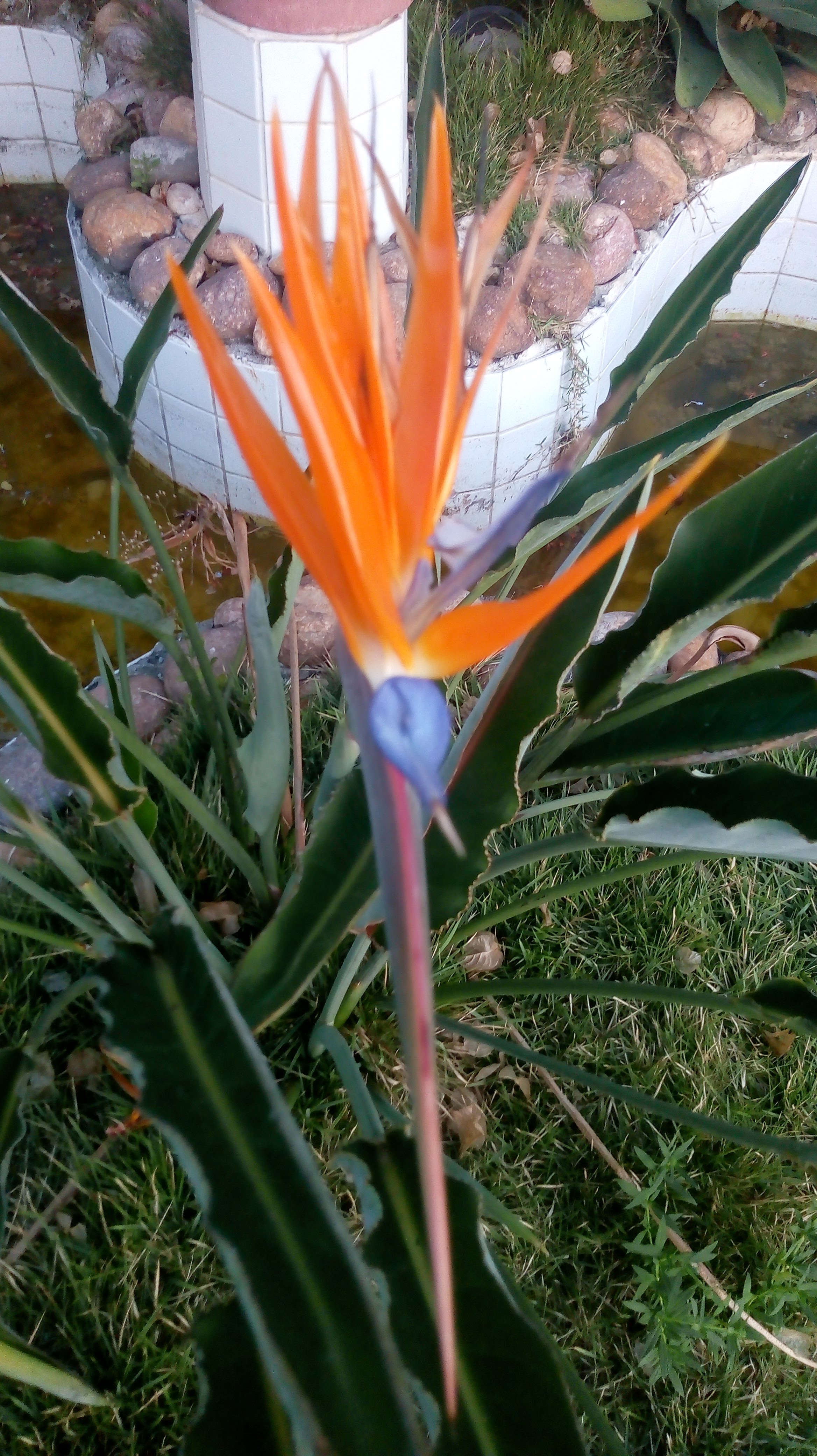
This local are amazing to get a pretty good images using a drone, You feel like you're in Eden.
Jun 2, 2026 11:30 PM
Rules update
• The perimeter for a safe zone to fly with your drone
Changed fields
Mapped shape change
Click to load this change into the shared map viewer here.
| Field | Before | After |
|---|---|---|
| Flight status | Unknown | Caution |
| Summary | — | There are some very large antennas here. |
| Mapped shapes | — | eb3e619c-ef9b-499c-b215-dddf8369920b |
Before
After
If you're going to fly, and you prove that the wind is suitable, because it's a mountain range, if the drone hits or falls you could possibly lose it.
Show inline change markers
+ If you're going to fly, and you prove that the wind is suitable, because it's a mountain range, if the drone hits or falls you could possibly lose it.
Jun 2, 2026 9:35 PM
Review
5 out of 5 stars
5/5
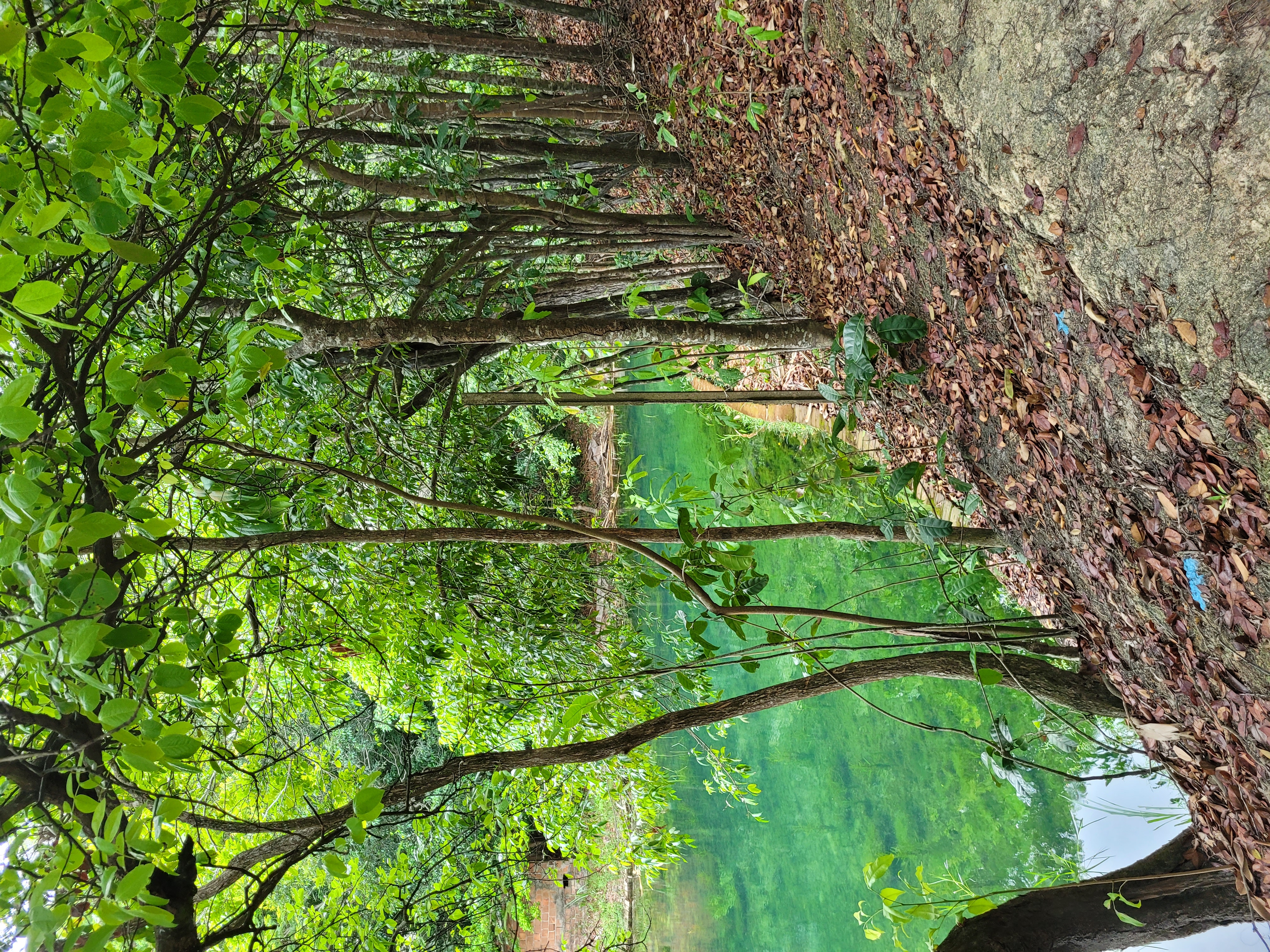
In this spot have to much trees, and using the drone you have a air view, are so beatiful
Jun 2, 2026 9:33 PM
Review
Place:
Flor da Serra Bistrô
5 out of 5 stars
5/5
This peak are so high that, using a drone, you'll be able to get incredible photos. You'll love it!
Jun 2, 2026 9:31 PM
Review
5 out of 5 stars
5/5
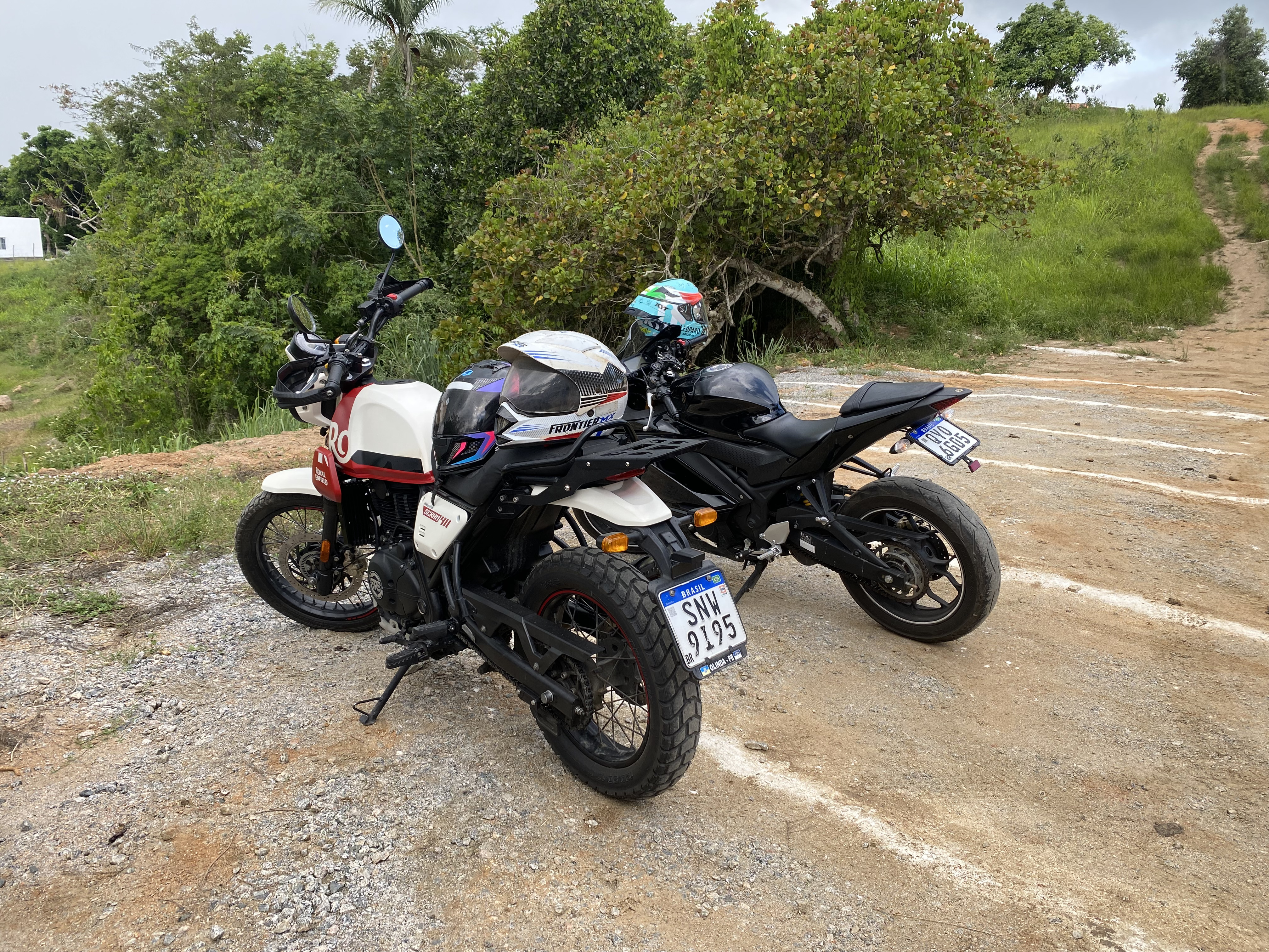
In this nature reserve, you can capture beautiful images of nature. You'll like it.
Jun 2, 2026 9:28 PM
Review
Place:
EDY VARIEDADES & SERVIÇOS
5 out of 5 stars
5/5
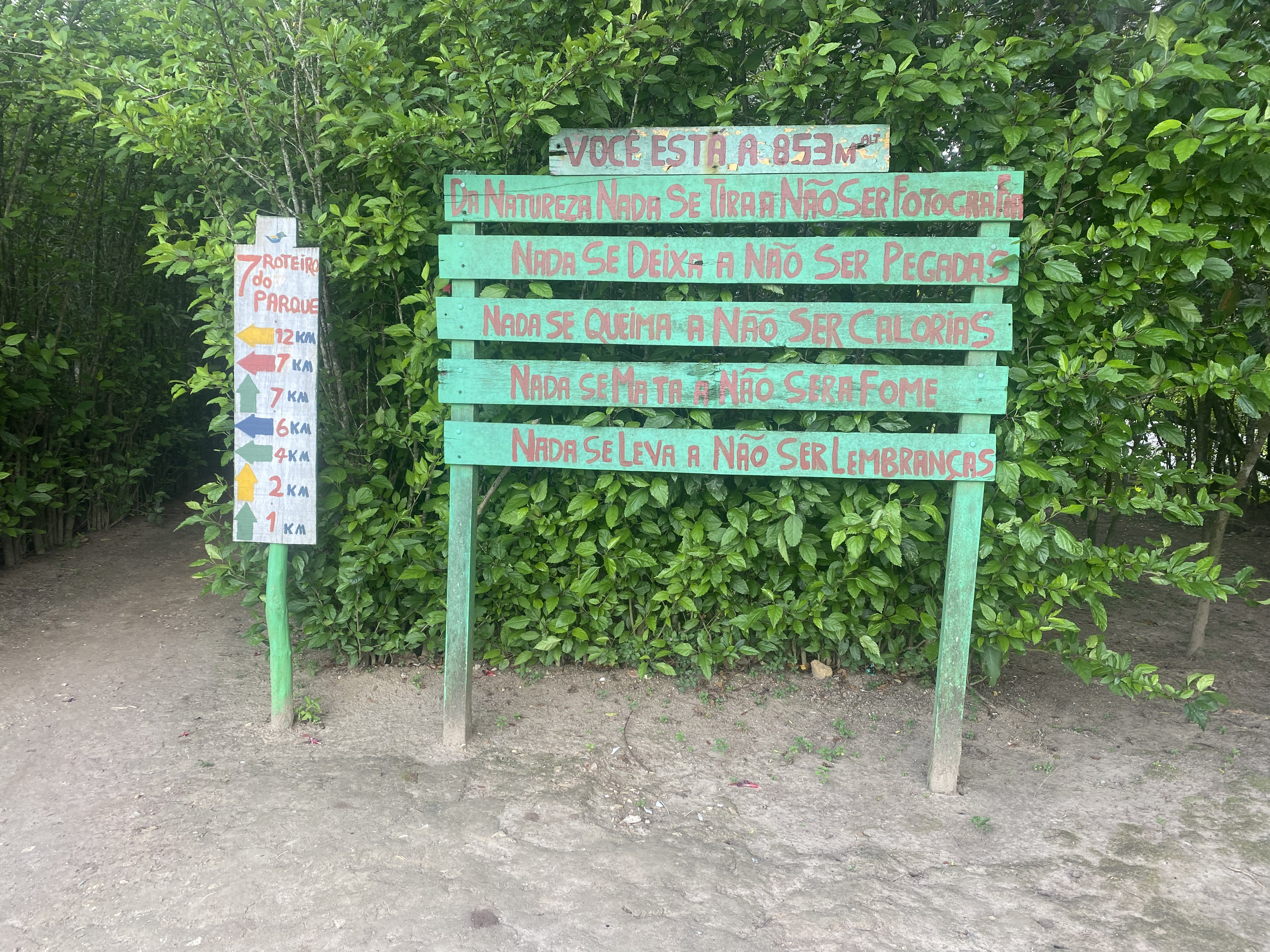
look this image, are incredible in the night you will like to get so many images using the drone.
Jun 2, 2026 9:27 PM
Review
4 out of 5 stars
4/5
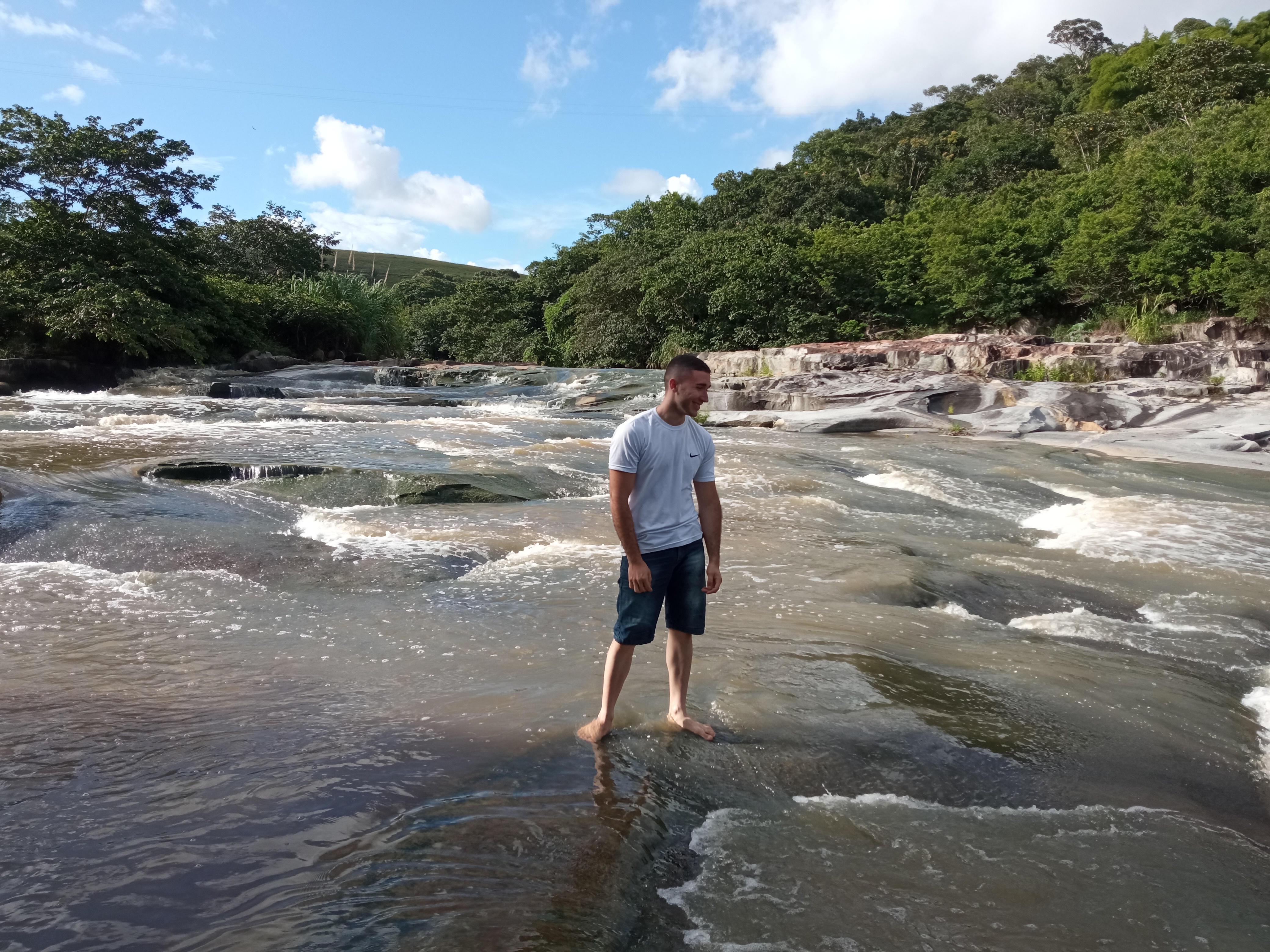
There's a small stream in that place; it's very beautiful and fun to fly a drone through it.
Jun 2, 2026 9:26 PM
Review
5 out of 5 stars
5/5
Are one of the most beautiful places with i'm going, i like to much for take a so many videos in this spot.
Jun 2, 2026 9:25 PM
Review
5 out of 5 stars
5/5
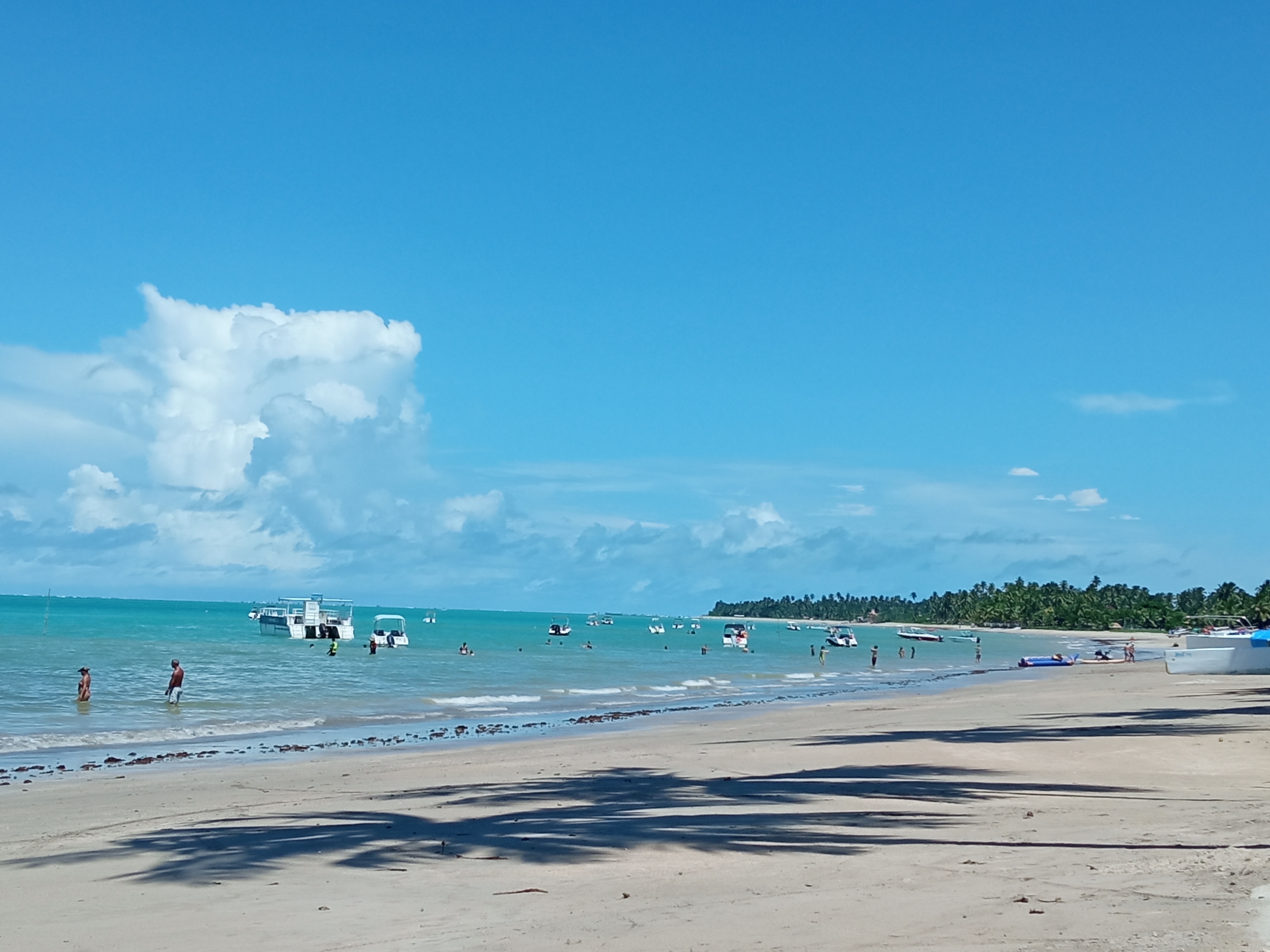
Right here, when the tide is low, it's a great time to take photos with a drone.